Old Goats 50 Mile Trail Race
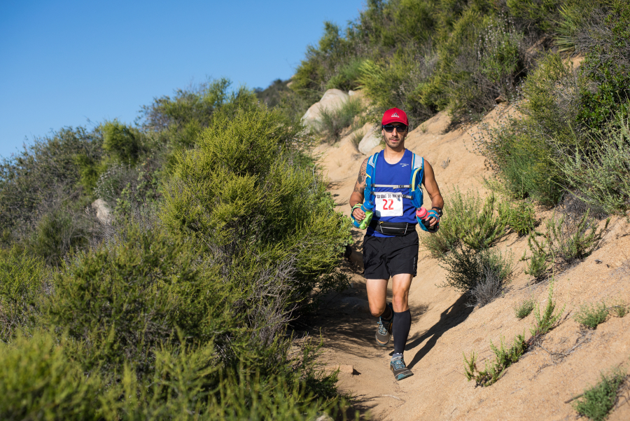

Join Old Goats 50 Mile Trail Race
Cleveland National Forest encompasses 460,000 acres (720 sq mi (1,900 km2)), mostly of chaparral, with a few riparian areas. A warm dry mediterranean climate prevails over the Forest. It is the southernmost National forest of California and consists of most of the Santa Ana Mountains and is bisected by the Ortega Highway, which runs from San Juan Capistrano to Lake Elsinore. It is administered by the United States Forest Service, a government agency within the United States Department of Agriculture. It is divided into the Descanso, Palomar and Trabuco Ranger Districts and is located in the counties of San Diego, Riverside, and Orange. This is also the host of the annual Old Goat 50 Mile Trail Race.
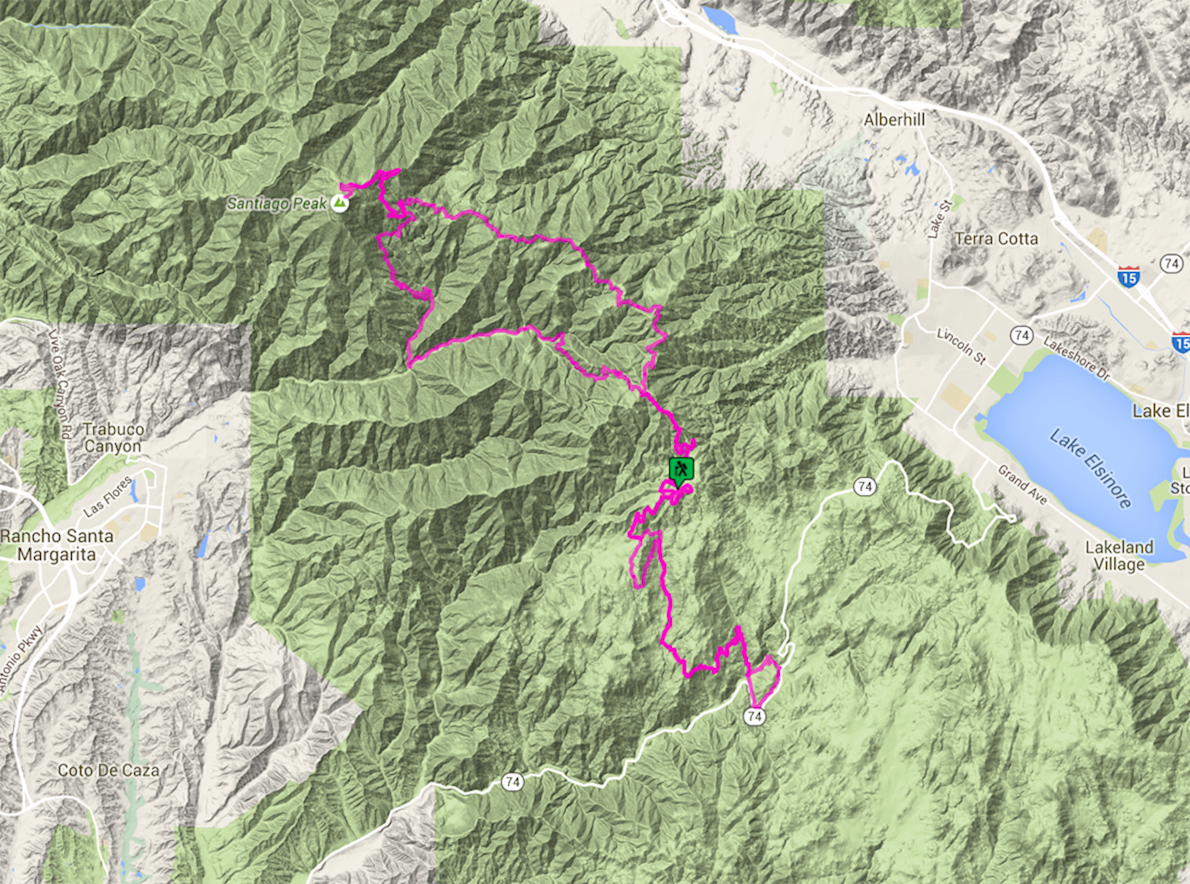
The Old Goat 50 Mile Trail Race is a modified figure eight course that starts and finishes at Blue Jay Campground, located in the Trabuco region of the Cleveland National Forest. The camp is 22 miles east of San Juan Capistrano, CA and 5 miles North of the Ortega Highway (RTE. 74). The race has 13,423′ of elevation gain and is rated one of the toughest 50 mile trail races in the country.
Route map
directions_runStart address: Cleveland National Forest,us
flagFinish address: Cleveland National Forest,us
Reviews
Be the first to write a review for this event
The race information has been found on the official website of the event or through publicly available sources. Always refer to the official website the latest race information. Please let us know if any data is wrong or missing, by emailing us.


