Join Santorini Experience 2026
Santorini Experience Returns to the Iconic Island of Santorini
The Santorini Experience returns to one of the world’s most stunning destinations, turning the island of Santorini into a hub of global sports tourism.
Co-organized by the Municipality of Thira, the Department of Sports and Culture of the Municipality of Thira, and ActiveMedia Group, the event brings together professional and amateur athletes from around the world to compete in exhilarating running and swimming challenges.
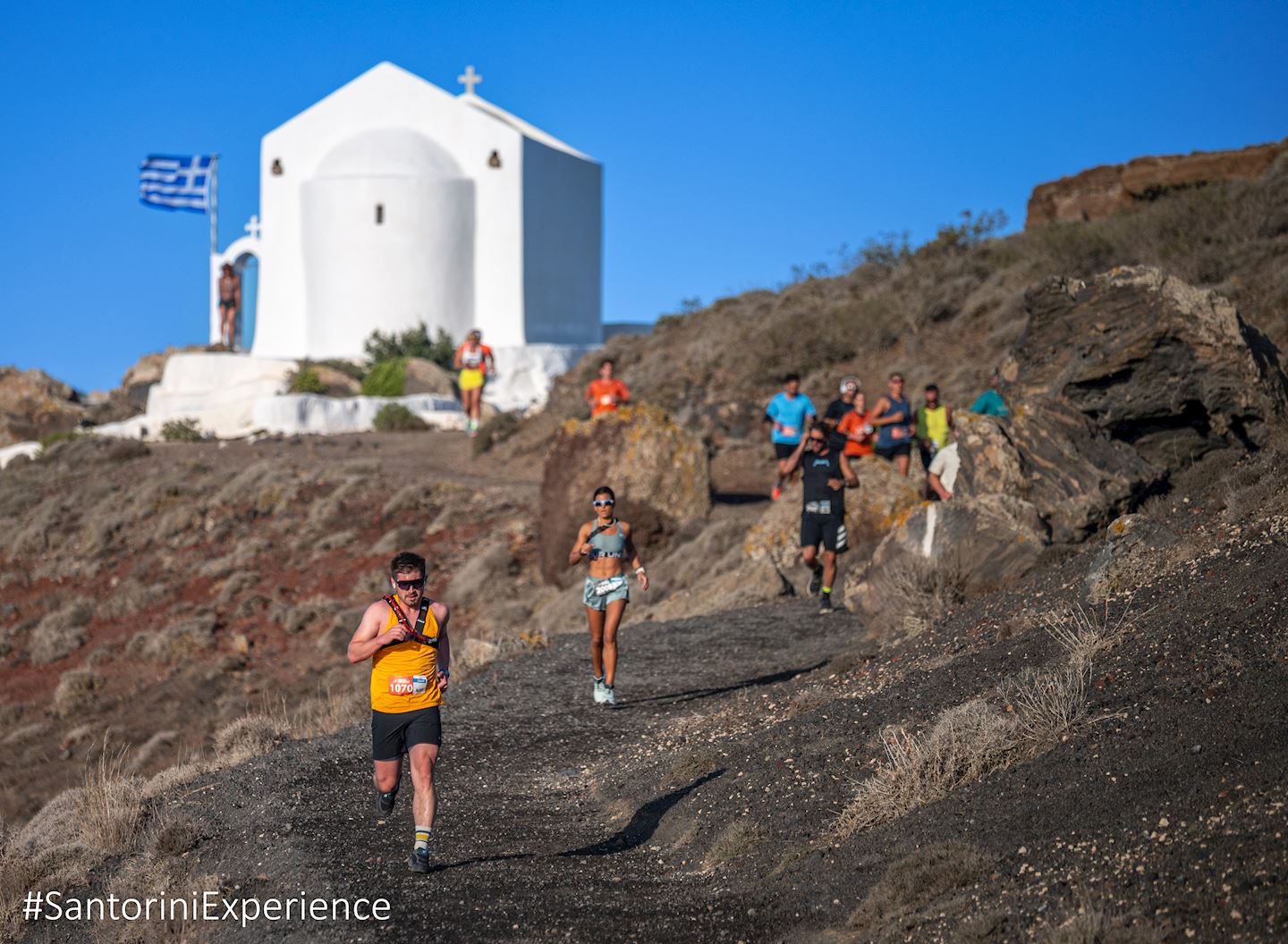
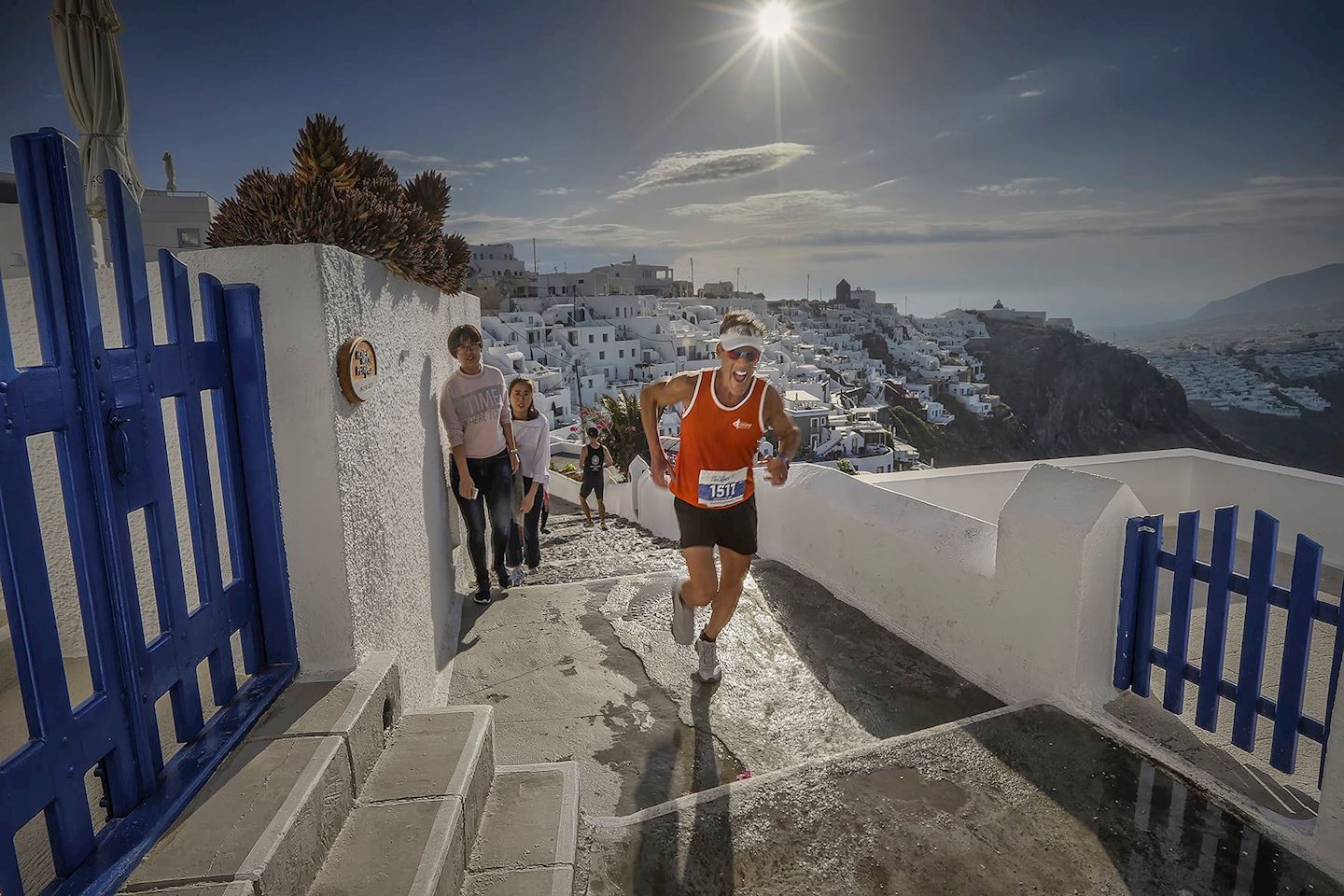
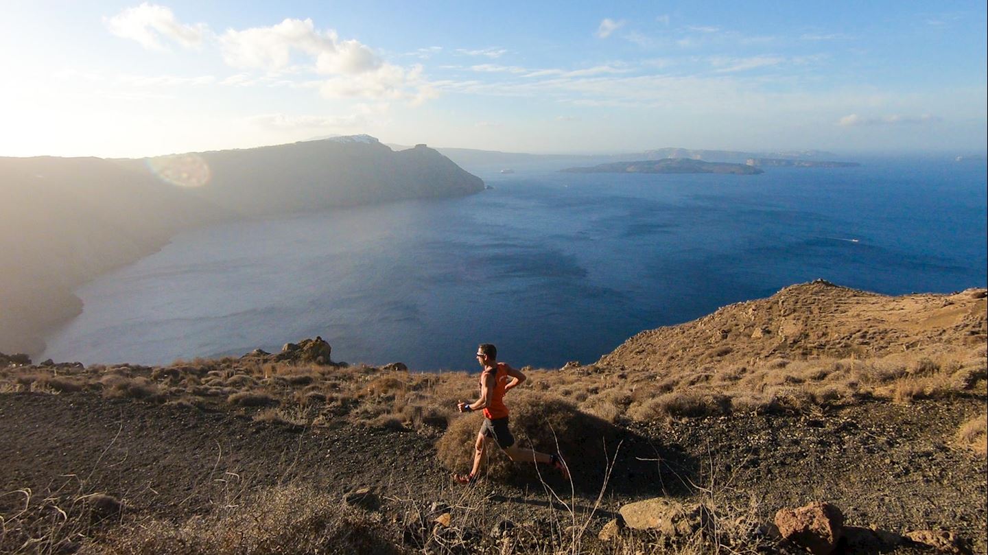
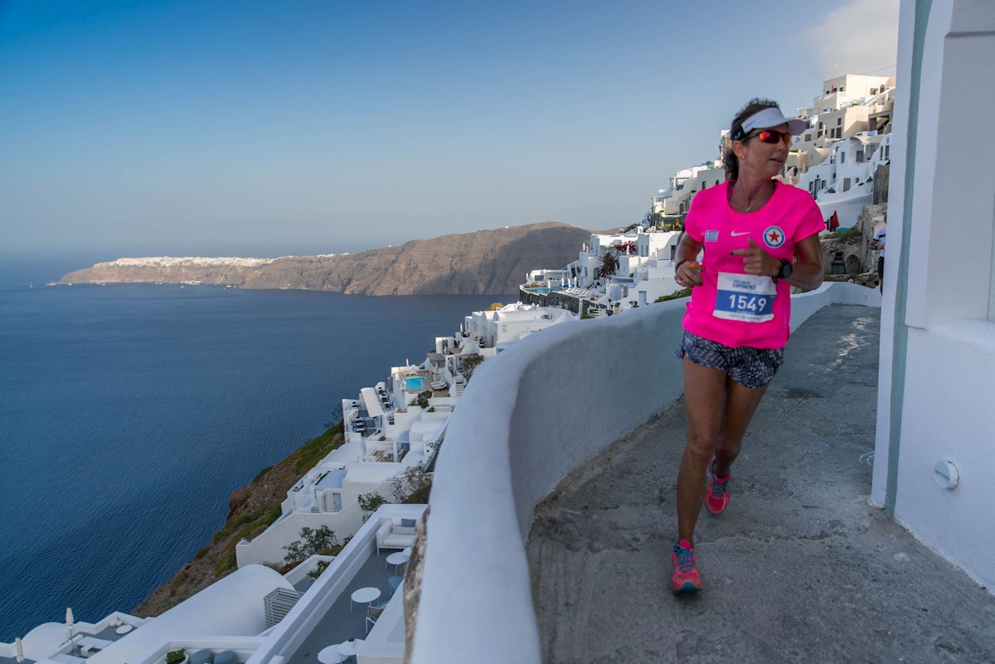
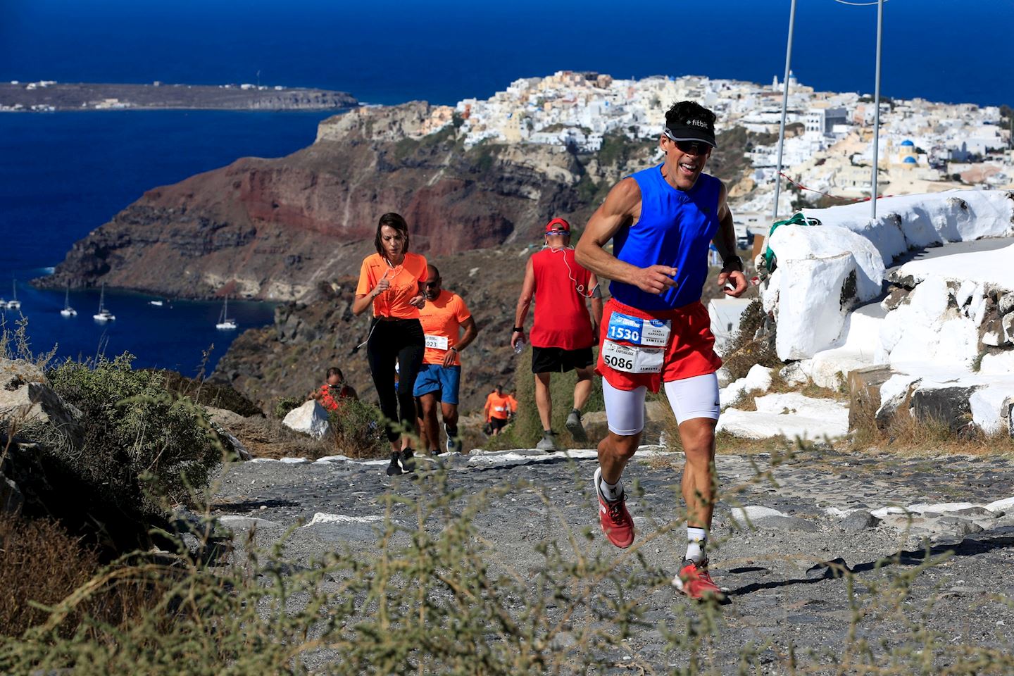
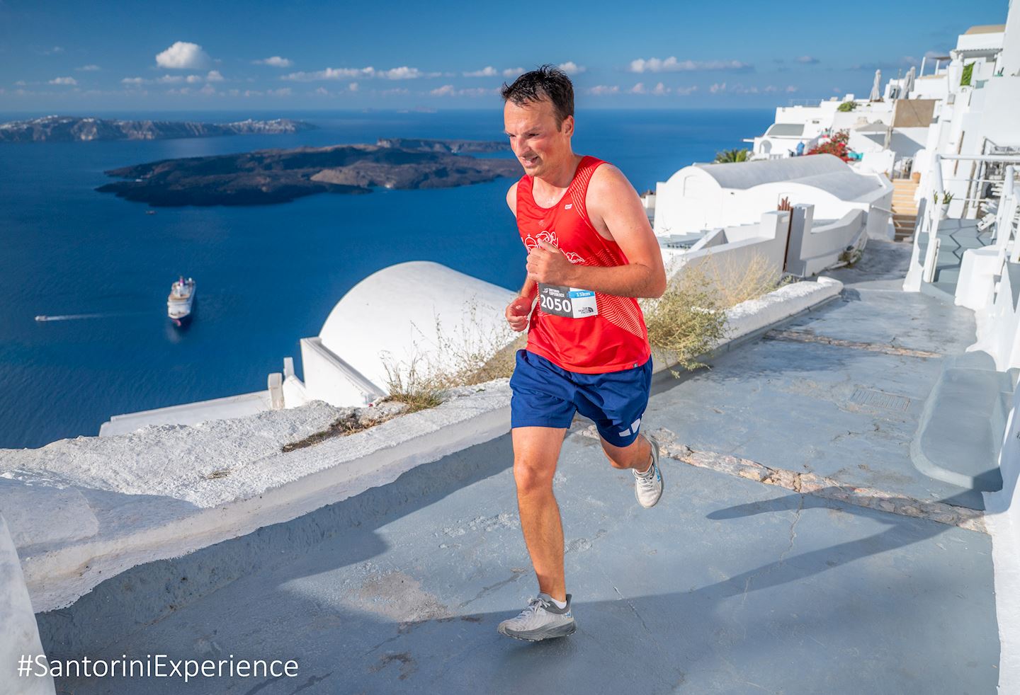
Runners on Sunday, October 18, can choose from trail races of 15k, 10k, and 5k, all starting and finishing in the iconic village of Oia. The routes offer breathtaking views of the Caldera and pass through the picturesque settlements of Imerovigli and Firostefani. The new addition, Ancient Thera 5K Run will be held on Friday, October 16 at Sandblu Resort.
Swimmers on Saturday, October 17 will take on a unique 1.5-mile (2.4 km) open water course, beginning at the volcanic islet and finishing at the historic old port of Fira—an unforgettable experience set against Santorini’s dramatic landscape.
Santorini Experience promises an inspiring blend of athleticism, culture, and natural beauty in one of the world’s most captivating locations.
Course details
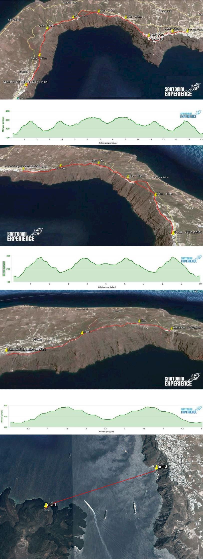
The route of 15 km. starts slightly downhill for about 250 meters to a wide dirt road and then follows a strongly uphill path 1,250 m long, with an average gradient of 12%. Then the dirt road path narrows and the form of the ground changes with several stones which need increased attention. The slope is downhill until the point located at 2.5 km. where there will be the first power station. Then the route continues on asphalt road for about 660 meters with moderate uphill slope, to get back on a path where the ground is soft and somewhat loose soil so you need a little attention as it is relatively slippery, with very steep slope for about 700 meters with breathtaking view. Attention at this point, you must move as far on the left side of the trail as possible.
The intense uphill ends at 3.8 km at the chapel of Prophet Elias, where a concrete steep alley follows up to 4.5 km which is 500 meters before the second power station at 5km. The next 2 kilometers is also quite steep in stable but fairly hard ground passing through Imerovigli and the view continues to be amazing. We continue up to the entrance of Fira until we get to the church of Saint Gerasimos where you will find the third power station and the reversal point. The way back is the same except for the point after the 11th km where before you reach the chapel of Prophet Elias, you take the paved path (also needs enough attention) on the right side until you get back on the asphalt road at the 12th km and in about 600 meters you get back on the path for the return where we meet the maximum slope just before 13.5 km, which is close to 40% (!) for 100 m. The last 1.5 km of the route is downhill.
Technical characteristics of the route:
Start – stop Elevation: 146 m.
Reversal point Elevation: 277 m.
Maximum altitude: 334 m.
Minimum altitude: 135 m.
Total positive elevation: 834 m.
Maximum slope: 37.6 %
Route Ground: soil path with recessed stones in some places, asphalt road, paved path.
10km Route
The route of 10 km. starts slightly downhill for about 250 meters to a wide dirt road and then follows a strongly uphill path 1,250 m long, with an average gradient of 12%. Then the dirt road path narrows and the form of the ground changes with several stones which need increased attention. The slope is downhill until the point located at 2.5 km. where there will be the first aid station. Then the route continues on asphalt road for about 660 meters with moderate uphill slope, to get back on a path where the ground is soft and somewhat loose soil so you need a little attention as it is relatively slippery, with very steep slope for about 700 meters with breathtaking view. Attention at this point, you must move as far on the left side of the trail as possible.
The intense uphill ends 3.8 km at the chapel of Prophet Elias, followed by a concrete downhill path until 4.5 km (2nd aid station), and then approximately 500 meters remain until the turnaround point (a colored balloon and a human marker).
The way back is the same except for the point after the 6th km. where before you reach the chapel of Prophet Elias, you take the paved path (also needs enough attention) on the right side until you get back on the asphalt road at the 7th km. and in about 600 meters you get back on the path for the return where we meet the maximum slope just before 8.5 km., which is close to 40% (!) for 100 m. The last 1.5 km. of the route is downhill.
Technical characteristics of the route:
Start – stop Elevation: 146 m.
Reversal point Elevation: 245 m.
Maximum altitude: 293 m.
Minimum altitude: 135 m.
Total positive elevation: 570 m.
Maximum slope: 37.6 %
Route Ground: soil path with recessed stones in some places, asphalt road, paved path.
5 km Route
The route of 5 km. starts slightly downhill for about 250 meters to a wide dirt road and then follows a strongly uphill path 1,250 m long, with an average gradient of 12%. Then the dirt road path narrows and the form of the ground changes with several stones which need increased attention. The slope is downhill until the reversal point located midway (2.5 km.) where there will be a power station.
On returning we meet the maximum slope just before the 3.5 km., which is close to 40% (!) for about 100km. The last 1.5 km. of the route is downhill.
Technical characteristics of the route:
Start – stop Elevation: 146 m.
Reversal point Elevation: 173 m.
Maximum altitude: 293 m.
Minimum altitude: 135 m.
Total positive elevation: 313 m.
Maximum slope: 37.6 %
Route Ground: soil path with recessed stones in some places.
Open Water Swimming Route of Santorini Experience
Location: Volcano – Old Port of Fira
The distance of the Santorini Experience open water swimming route is 1.5 miles (2.4 km).
Start/ Finish
The starting line* will be in the water in the harbor of the volcano. The finish line is located at the pier of the old port of Fira in a specially formatted finish arch. In order to exit a pool ladder will be available.
Along the way there will be many experienced lifeguards and watercrafts for the safety and protection of swimmers. If you don’t feel well and you are not able to continue, you may move your hands up and down or move to the nearest watercraft.
* Swimmers will be transferred by boat to the starting area.
Other Information
In Santorini Experience there is timing. Distinguished categories will be formed depending on the final participation entries, while an extra classification for those wearing wetsuits will be added.
Swimmers should be at the old port at least 1 hour before the scheduled starting time.
The contestants can use the cable car connecting Fira to the old port.
Spectators could visit the port by the stairs or by the cable car. They can enjoy and share this unique experience from any point of Fira or Santorini with a view to Caldera.
Start address: Santorini, Greece
Mappa del percorso
Registrati
Registration closes on 14 ottobre (78 giorni sinistra)
biglietti selezionati
Totale
È possibile, entro 24 ore dopo la vostra registrazione, ottenere un rimborso completo, se si cambia idea.
accettiamo


![]()


![]()


![]()
What’s included
-
done Finisher medal
-
done Goodie bag
-
done Event T-shirts
-
done Timing chip (rental)
-
done Drink Stations
-
done Nutrition Stations
-
done Medical Assistance
-
done Bag drop
-
done Toilets
Le informazioni sulla gara provengono dal sito ufficiale dell'evento o da fonti pubblicamente reperibili. Consulta sempre il sito web ufficiale per le ultime informazioni sulla gara. Informaci tramite email. se alcuni dati sono errati o mancanti.
