Arkansas Traveller 100


Join Arkansas Traveller 100
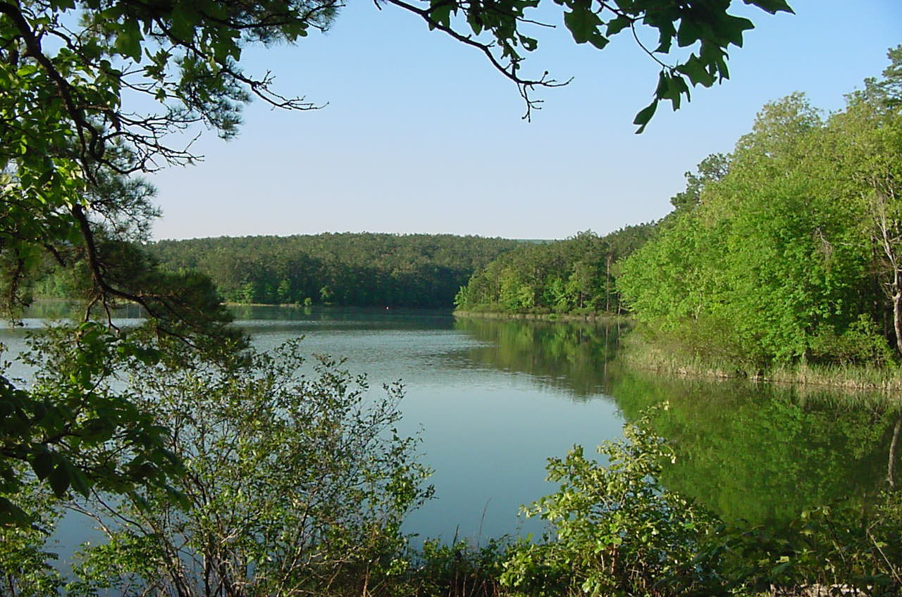
Run through the Ouachita National Forest in this 100 miler!
The Ouachita National Forest is the oldest National Forest in the southern United States, and offers an opportunity to get intimate with nature. Rich in history, the Ouachita National Forest is a great place to run – whether you are a first timer or a seasoned ultra runner.
Enjoy some of the finest natural beauty nature has to offer while taking part in a Ultra marathon that is sure to be enjoyable.
Course highlights
The format of the course is a 17-mile figure-eight loop followed by an 83-mile out-and-back through the Ouachita Mountains. Eight miles of the course--approximately mile 9 through 17 are on the Ouachita National Recreation Trail. There are a total of two miles of pavement on Highway 324, with the remainder of the mileage on forest roads and jeep trails of greatly varying quality. Ouachita Trail is permanently marked with blue blazes. The remaining 92 miles will be marked with blue and white striped ribbon, chalk paint or flour arrows (at turns), occasional signs, and glow sticks (at night).
The Start is on SH 324 at the Camp Ouachita turn-in. The run proceeds north on SH 324 for 1.4 miles to FSR 805 (aka Brown's Creek road), left turn. Follow FSR 805 for 3.8 miles to the first crossing of the Ouachita Trail (Brown's Creek aid station). Continue on FSR 805 another 3.4 miles to the second crossing of the Ouachita Trail (Flatside Pinnacle aid station), right turn. Follow the Ouachita Trail (blazed with blue paint) 3.3 miles back to the first passing of the Ouachita Trail on FSR 805 (Brown's Creek aid station). Continue straight across FSR 805 on the Ouachita Trail and follow 4.2 miles to the Lake Sylvia spur trail (blazed with white paint), left turn and follow for 0.4 miles to the Ouachita Trail Parking lot near the Lake Sylvia campground (Lake Sylvia aid station). This ends the almost figure-eight 17 mile loop portion of the course and will not be revisited by the runners during the race.
The following is a description of the remaining portion of the race course which is an out and back section approximately 83 miles in length. Leaving the Ouachita Trail parking lot going away from the Lake Sylvia campground, follow FSR 152 for 1.5 miles, cross over FSR 132 and enter FSR 132C through the forest service gate. Follow FSR 132C for 4.2 miles to FSR 132 (Pumpkin Patch aid station), left turn. Follow FSR 132 for one mile to FSR 135, left turn. FSR 135 for 1.3 miles to FSR 212 (Electronic Tower aid station). Proceed up the hill and through the gate for .1 mile. As the hill levels off take FSR 212 to the right and follow for 4.1 miles to FSR 179 (Rocky Gap aid station). Right turn on FSR 179 and follow 1.1 miles to FSR 114. Left on FSR 114 and 1.3 miles to FSR 778. Right turn on FSR 778, follow one mile to Lake Winona aid station. Continue on FSR 778 for 4.2 miles to Pigtrail aid station. Continue on FSR 778 for 3.3 miles to FSR 2 (Club Flamingo aid station). Left on FSR 2 and follow 2.7 miles to FSR 211, right turn. Follow FSR 211 for 0.6 miles to unmarked, unmaintained FSR 762. Left on FSR 762 and follow 0.6 mile to Bahama Mama aid station.
Continue on FSR 762 for 2.5 miles to join maintained FSR 964. Continue straight another 0.4 miles to where FSR964 curves to the right--but DO NOT follow it. Instead, continue straight on FSR 762 which appears as a four wheeler trail into the woods. After 0.2 mile, cross through clearing underneath power line, re-entering trail into woods, and follow 0.8 mile to FSR Y59L. Right turn on Y59L and follow 0.9 miles to FSR 132 (Powerline aid station). Right onto FSR 132 and follow 0.8 miles to FSR 963, right turn. Follow FSR 963 for 0.6 miles to FSR 964, right turn. Follow FSR 964 for 0.7 miles to FSR 962, left turn. FSR 962 for 2.6 miles to FSR 961 (Copperhead Road aid station), right turn. Follow FSR 961 for 4.1 miles to FSR 2, left turn. The turnaround point (Turnaround aid station) is 1.6 miles on FSR 2 from this intersection. From the turnaround point the race course retraces itself back to the Ouachita Trail Parking lot near the Lake Sylvia campground (there is no Lake Sylvia aid station on the return). At this point the course follows SH 324 for approximately one mile to the turn-in to Camp Ouachita. Turning right, the Finish is just outside the Great Hall.
Mappa del percorso
directions_runStart address: Camp Ouachita,us
flagFinish address: Camp Ouachita,us
Recensioni
Puoi essere il primo a scrivere una recensione per questo evento
Le informazioni sulla gara provengono dal sito ufficiale dell'evento o da fonti pubblicamente reperibili. Consulta sempre il sito web ufficiale per le ultime informazioni sulla gara. Informaci tramite email. se alcuni dati sono errati o mancanti.