Messinia Challenge
08-10 may. 2026 (Fri - Sun)
Medio maratón, 10 km, 5 km, 1km

Join Messinia Challenge 2026
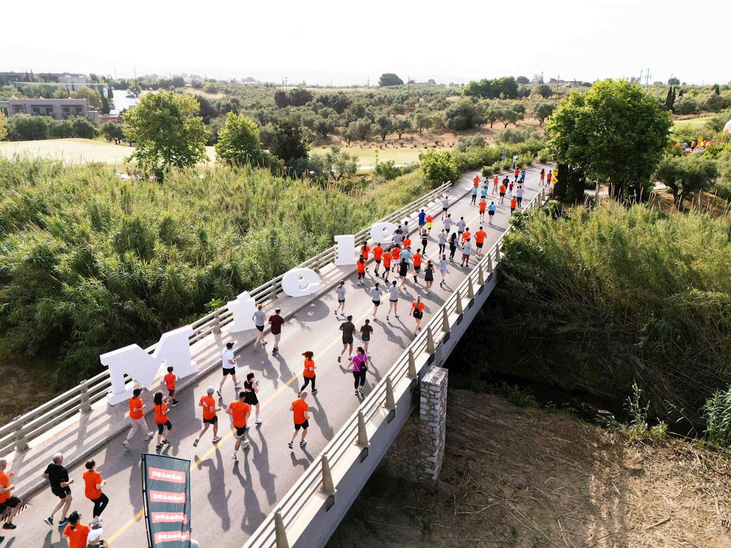
The annual sports celebration, Messinia Challenge, returns at Costa Navarino & Pylos this spring on May.
Aiming at uniting people of all ages and abilities once again through its central message “Sports Unites People”, the renowned as the “Best in Wellness” event in Europe will promote the benefits of exercise and raise awareness on the Messinian diet, towards the fight against childhood obesity.
Messinia Challenge will encourage the youth to engage in kids’ activities through the Active Kids initiative.
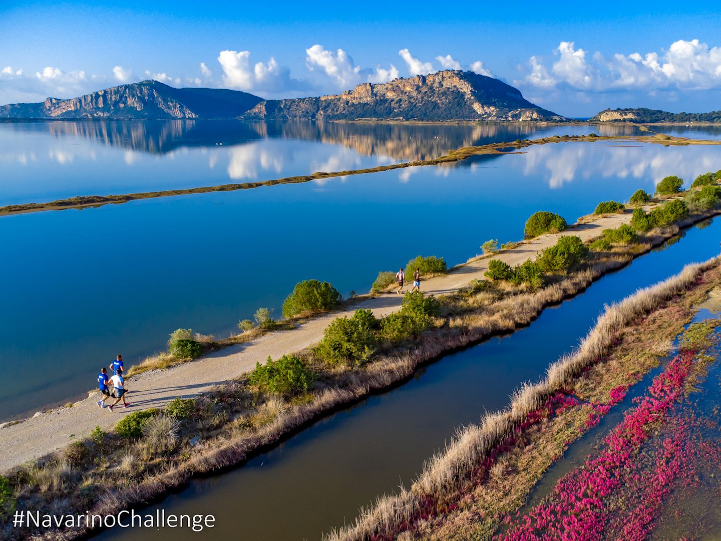
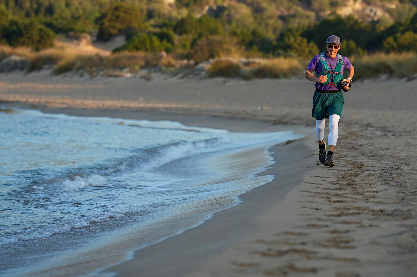
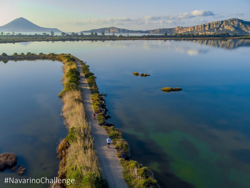
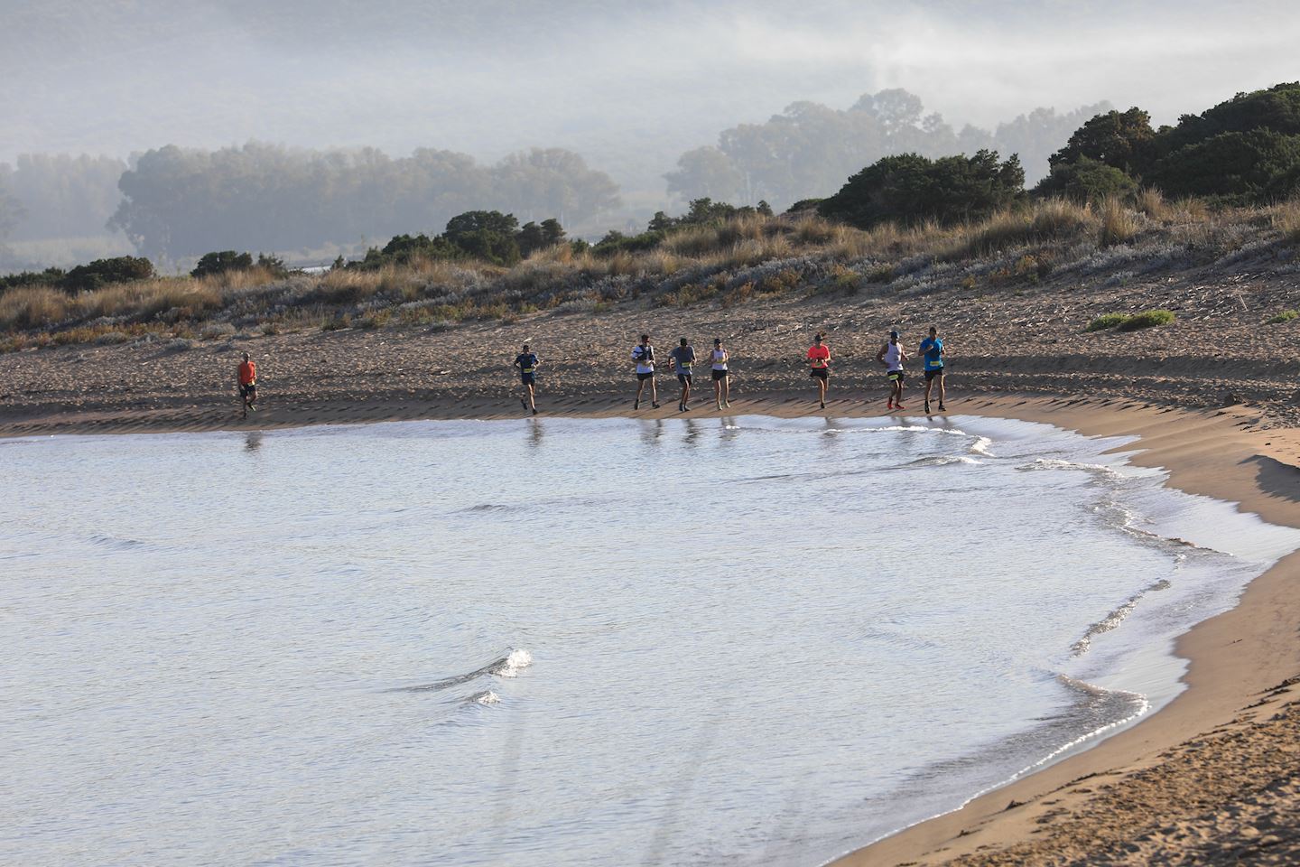
Runners may choose between the Greek Half Marathon (21.1km), 10km, and 5km (running & power walking) routes. Starting from the Navarino Dunes of Costa Navarino, professional and amateur athletes will run along the picturesque coast to Pylos, crossing the beautiful Voidokilia beach, tracing history beneath their feet in King Nestor’s land. They will follow the trail mapped out in the Homeric era by Telemachus, Ulysses’ son, trying to find his missing father.
The Greek Half Marathon is the only trail run that combines soil, sand and asphalt.
10km and 5km routes combine soil and asphalt.
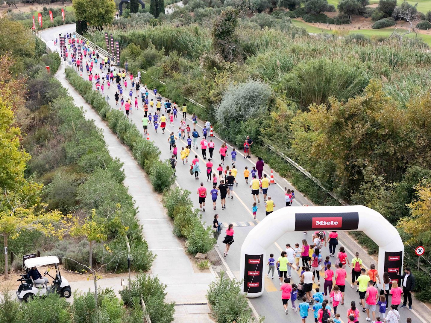
On the same day, the children’s 1km routes and 1km Run For All will take place.
Running events are held on Sunday, May 10, 2026.
Detalles de la ruta
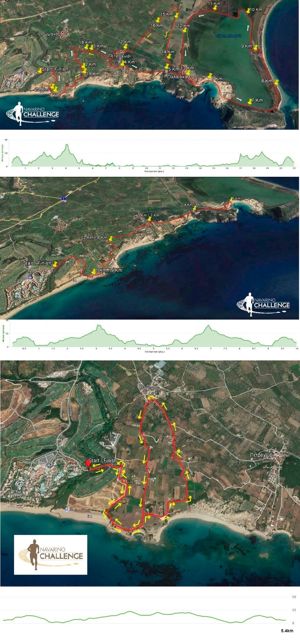
Starting from the Navarino Dunes of Costa Navarino, professional and amateur athletes will run along the picturesque coast to Pylos, crossing the beautiful Voidokilia beach, tracing history beneath their feet in King Nestor’s land. They will follow the trail mapped out in the Homeric era by Telemachus, Ulysses’ son, trying to find his missing father. It is the only trail run that combines soil, sand and asphalt.
10km
The trail running route of 10 km. gives participants the opportunity to run along the Voidokilia beach embracing nature. The 10km. route has small variations in height and consists of approximately 50% dirt road and 50% of asphalt road. The 10km route starts inside the facilities of Costa Navarino. Start & finish points are at Costa Navarino.
5km
Starting from the Navarino Dunes of Costa Navarino, professional and amateur athletes will run along the picturesque coast to Pylos, crossing the beautiful Voidokilia beach, tracing history beneath their feet in King Nestor’s land. They will follow the trail mapped out in the Homeric era by Telemachus, Ulysses’ son, trying to find his missing father. Start & finish points are at Costa Navarino.
Start address: Navarino Dunes Messinia, Costa, Pilos 240 01, Greece
Finish address: Navarino Dunes Messinia, Costa, Pilos 240 01, Greece
Mapa de ruta
Regístrate
Registration closes on 03 mayo (92 Días restantes)
tickets seleccionados
Total
Puedes, dentro de las 24 horas siguientes a tu inscripción, obtener un reembolso completo si cambias de opinión.
What’s included
-
done Finisher medal
-
done Goodie bag
-
done Event T-shirts
-
done Timing chip (rental)
-
done Photo Service
-
done Video Service
-
done Parking
-
done Shuttle to Start Line
-
done Drink Stations
-
done Nutrition Stations
-
done Medical Assistance
-
done Bag drop
-
done Toilets
-
done Custom bib number
Preguntas frecuentes
When and where can I collect my BIB/race pack?
Location : The registration area near the start/finish point of the running routes Date : Friday (May 9), Saturday (May 10) in the evening & Sunday (May 11) before the race
What is the cancellation/refund policy for this event?
Cancellations of confirmed registrations are only possible in accordance to the cancellation policy of the event, as indicated in this term. Refund of the total amount is approved in case of non-participation notice latest by 20/03/2025. Organization has the right to proceed to any changes (dates, routes) in case of extreme weather conditions or force majeure in order to facilitate and ensure the safety of the athletes. In the unlikely case of a race or the event in total being cancelled there are no refunds given and the next appropriate event will be offered as compensation. In the case of a race or the event in total being cancelled, the organization has no responsibility for any costs incurred as a result of cancellation including any travel or accommodation costs, including your transfer to the event location.
La información de la carrera se ha encontrado en el sitio web oficial del evento o en otras fuentes de acceso público. Consulta siempre el sitio web oficial para obtener la información más actualizada sobre la carrera. Si falta algún dato o hay algún error, envíanos un correo electrónico para informarnos..


