Join Tihiorace Ultra
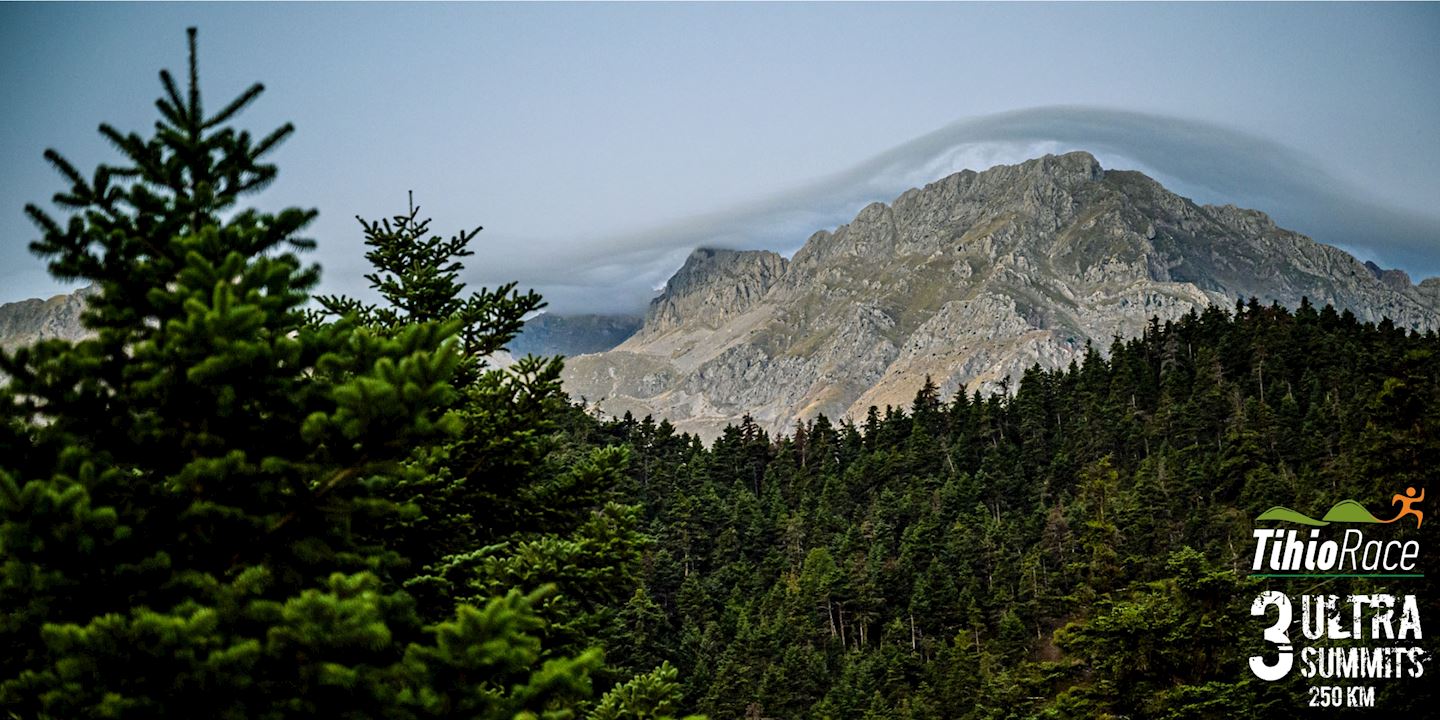
Tihio Doridos is located in the northwest of Fokida County, within the Municipality of Eupalion. This area boasts plane trees, springs, and the wild, untouched beauty of Roumeli's rich landscape.
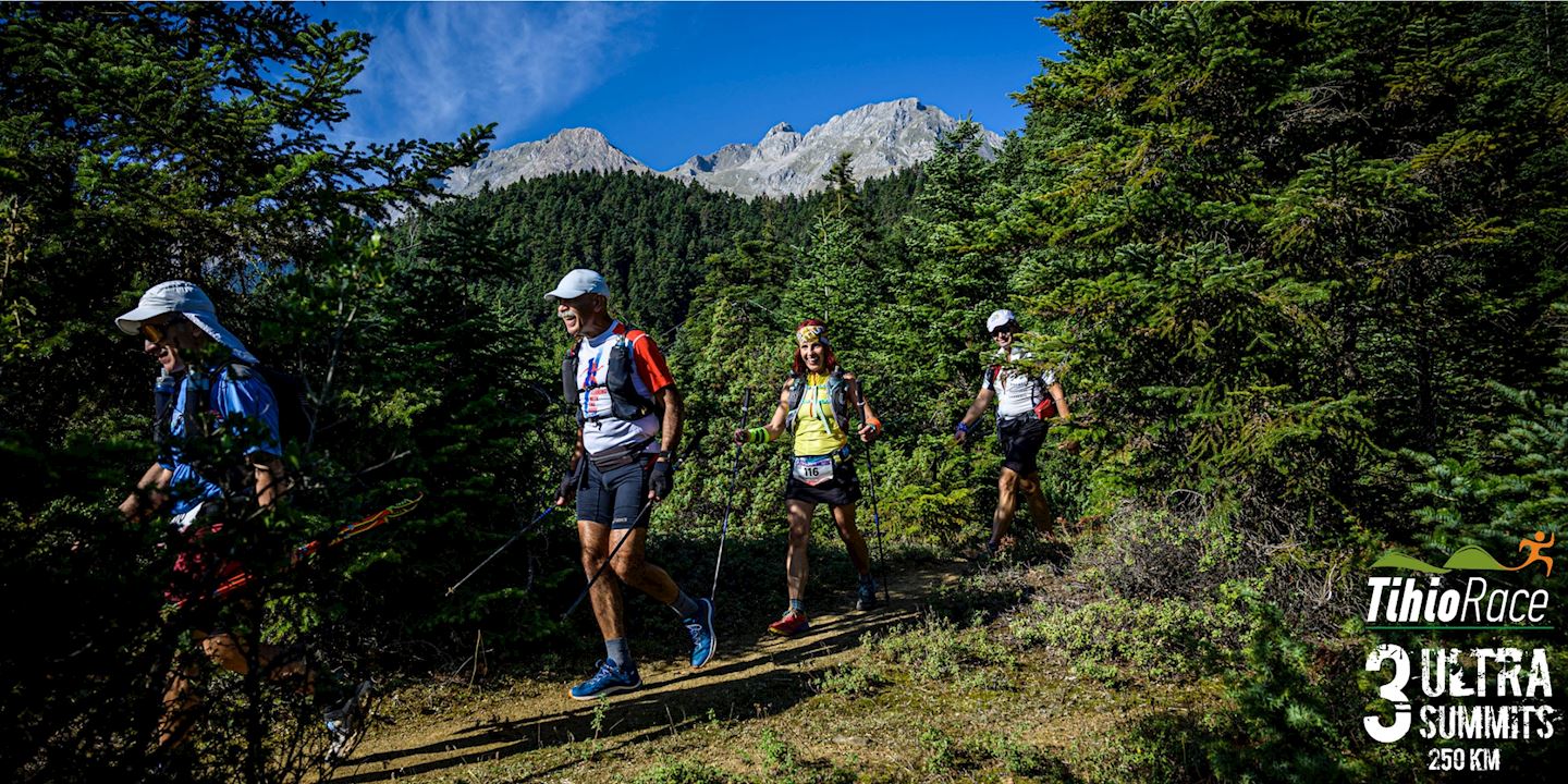
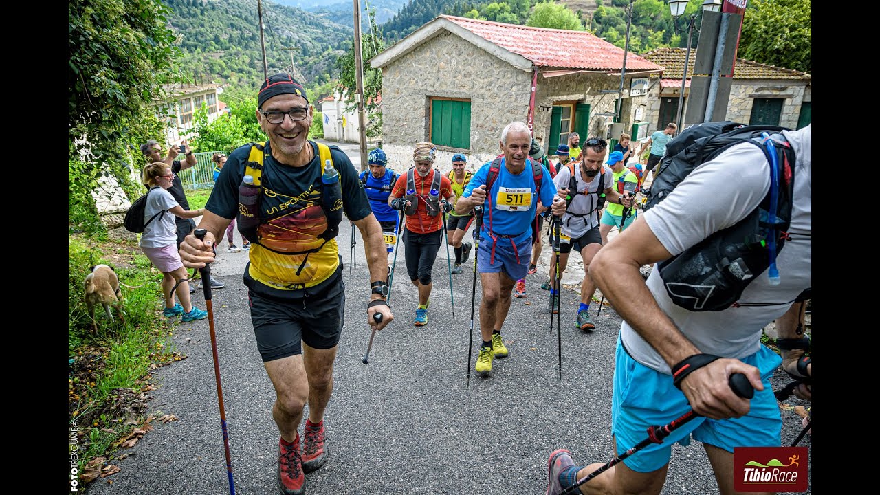
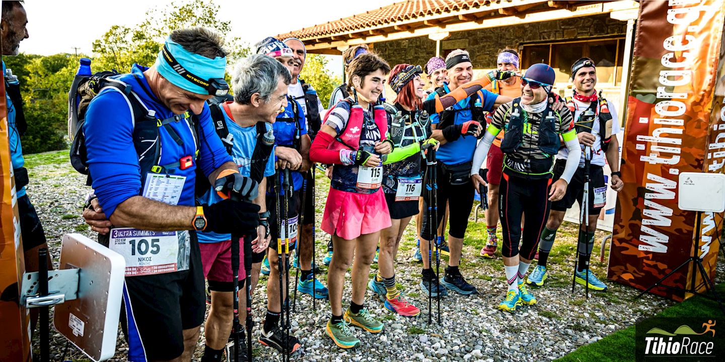
Experience the challenge of 3 epic mountains in the 3 Ultra Summits 250km race. Set your sights on your next adventure:
✅ 3 Ultra Summits Tihiorace 250km (D+ 14,000m) – 03/06 - 07/06
✅ X-Ultra Tihiorace 170km (D+ 9,100m) – 04/06 - 06/06
✅ 75-Ultra Tihiorace 75km (D+ 3,500m) – 05/06 - 07/06
Choose your distance and take on the ultimate challenge!
Detalles de la ruta
TIHIO - DAFNOS - VARDOUSIA - GIONA - PARNASSOS – DELFI – TIHIO Tihio - Palioxari - Krokylio - Pentayi - Tristeno - Dafnos - Korakas - Mousounitsa - Stromi – Pyramida – Viniani – “51” - Agoriani - Polydrosso – Parnassos Ski Centre – Liakoura – Gerontovrachos – Delfi – Sernikaki – Ag. Efthymia – Vounihora– Malandrino – Vraila – Trikorfa - Tihio
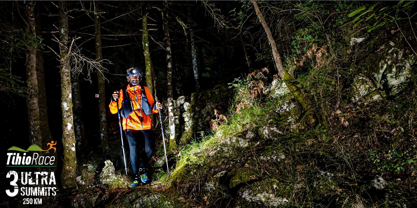
In order to run this 250K race, one must be properly prepared, both physically and mentally. Total ascent is close to +13900m and the terrain is generally rocky. It could be said that this is a unique race by the standards of Greece in terms of altitude and challenging terrains. The trails can be characterised as purely mountaineering. Moreover, this race is ruled by the principle of semi-autonomy. There are therefore 8 aid stations (two of which for drop bags) and 8 check points.
X-Ultra TihioRace 170Km :
STROMI - GIONA - PARNASSOS – DELFI – TIHIO Stromi – Pyramida – Viniani – “51” - Agoriani - Polydrosso – Parnassos Ski Centre – Liakoura – Gerontovrachos – Delfi – Sernikaki – Ag. Efthymia – Vounihora– Malandrino – Vraila – Trikorfa – Tihio
In order to run this 100 mile race, one must be properly prepared, both physically and psychologically. Total ascent is close to +9100m and the terrain is generally rocky. It could be said that this is a unique race by the standards of Greece in terms of altitude and challenging terrains. The trails can be characterised as purely mountaineering. Moreover, the philosophy of the race is semi-autonomy. There are therefore 5 aid stations (two of which for drop bags) and 8 check points.
75-Ultra Tihiorace 75km :
Delfi – Sernikaki – Ag. Efthymia – Vounihora– Malandrino – Vraila – Tihio
An introductory race, so to speak, for the long routes of the Ultra Tihio. It requires semi-autonomy and can be the stepping stone to run next year's X- Ultra 170 km of the Tihiorace Ultra Edition. Of course, this route is the only mountain race that starts from Delphi and is an ancient route that connected Dorida (and other regions such as Nafpaktia and Western Greece) with the "Navel of the Earth"!
Start address: TihioRace, Tichio, Greece
Finish address: TihioRace, Tichio, Greece
What’s included
-
done Finisher medal
-
done Goodie bag
-
done Event T-shirts
-
done E-certificate/e-diploma
-
done Timing chip (single use)
-
done Photo Service
-
done Video Service
-
done Pre-race meal
-
done Post-race meal
-
done Parking
-
done Shuttle to Start Line
-
done Drink Stations
-
done Nutrition Stations
-
done Medical Assistance
-
done Bag drop
-
done Toilets
-
done Shower
-
done Dressing rooms
-
done Accident insurance
-
done Custom bib number
Comentarios
Se el primero en escribir una reseña para este evento
Preguntas frecuentes
When and where can I collect my BIB/race pack?
On the race day at Information Kiosk at the start/finish area. Please pick up package before the race starts.
What is the cancellation/refund policy for this event?
In case of postponement or cancellation of the race under the responsibility of the organization or after a government decision, the money will be returned to the participants. An athlete who declares participation and does not come to the match is not entitled to a refund.
Mandatory Equipments 250 km
1. backpack with at least a liquid container one liter 2. waterproof jacket 3. aluminum blanket 4. elastic bandage and 2 (two) gauzes 5. emergency whistle 6. two head torches with spare batteries 7. food equivalent to 1000 calories minimum 8. mobile phone, with charged battery. Your phone number must be stated when registering for the event. The phone number of the organization will be written on the bib that will be given to the athletes. 9. The event depending on the weather conditions may require additional mandatory equipment such as gloves, cap, long technical leggings or waterproof pants. Upon receipt of the registration file from the secretariat, the organization will check the above necessary equipment. The registration file will not be delivered to the athlete if any of the above materials are missing. The organization will check this equipment at an unknown (in advance) point along the route. Absence of even a part of the equipment imposes the exclusion of the athlete.
Mandatory Equipments 170 km
1. backpack with at least a liquid container one liter 2. waterproof jacket 3. aluminum blanket 4. elastic bandage and 2 (two) gauzes 5. emergency whistle 6. a head torch with spare batteries 7. food equivalent to 1000 calories minimum 8. mobile phone, with charged battery. Your phone number must be stated when registering for the event. The phone number of the organization will be written on the bib that will be given to the athletes. 9. The event depending on the weather conditions may require additional mandatory equipment such as gloves, cap, long technical leggings or waterproof pants. Upon receipt of the registration file from the secretariat, the organization will check the above necessary equipment. The registration file will not be delivered to the athlete if any of the above materials are missing. The organization will check this equipment at an unknown (in advance) point along the route. Absence of even a part of the equipment imposes the exclusion of the athlete.
Mandatory Equipments 75 km
1. Backpack with water 1000 ml 2. Aluminum blanket 3. Headlamp
La información de la carrera se ha encontrado en el sitio web oficial del evento o en otras fuentes de acceso público. Consulta siempre el sitio web oficial para obtener la información más actualizada sobre la carrera. Si falta algún dato o hay algún error, envíanos un correo electrónico para informarnos..


