
Join Marathon du Mont Blanc
*** IMPORTANT: Tickets sold by a tour operator. ***
*** By registering you receive a guaranteed entry to the race. ***
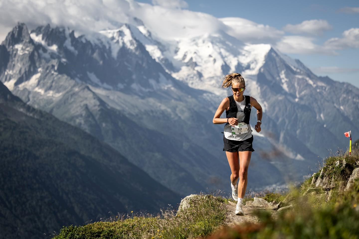
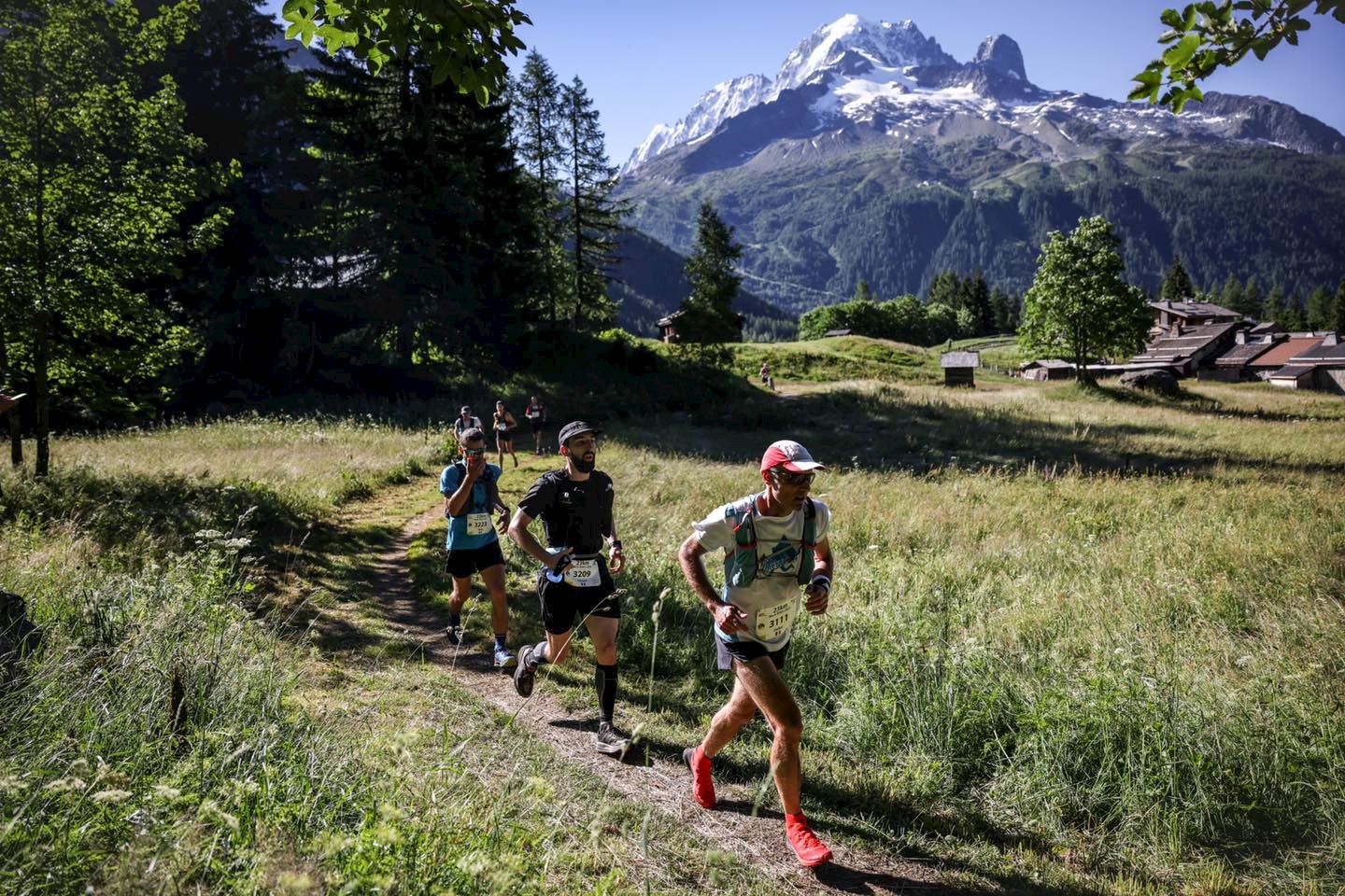
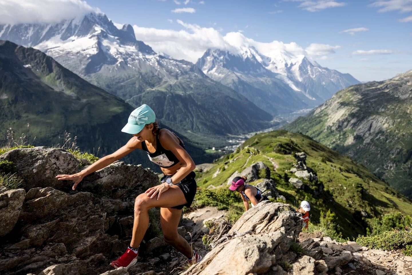
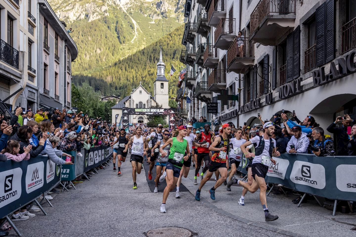
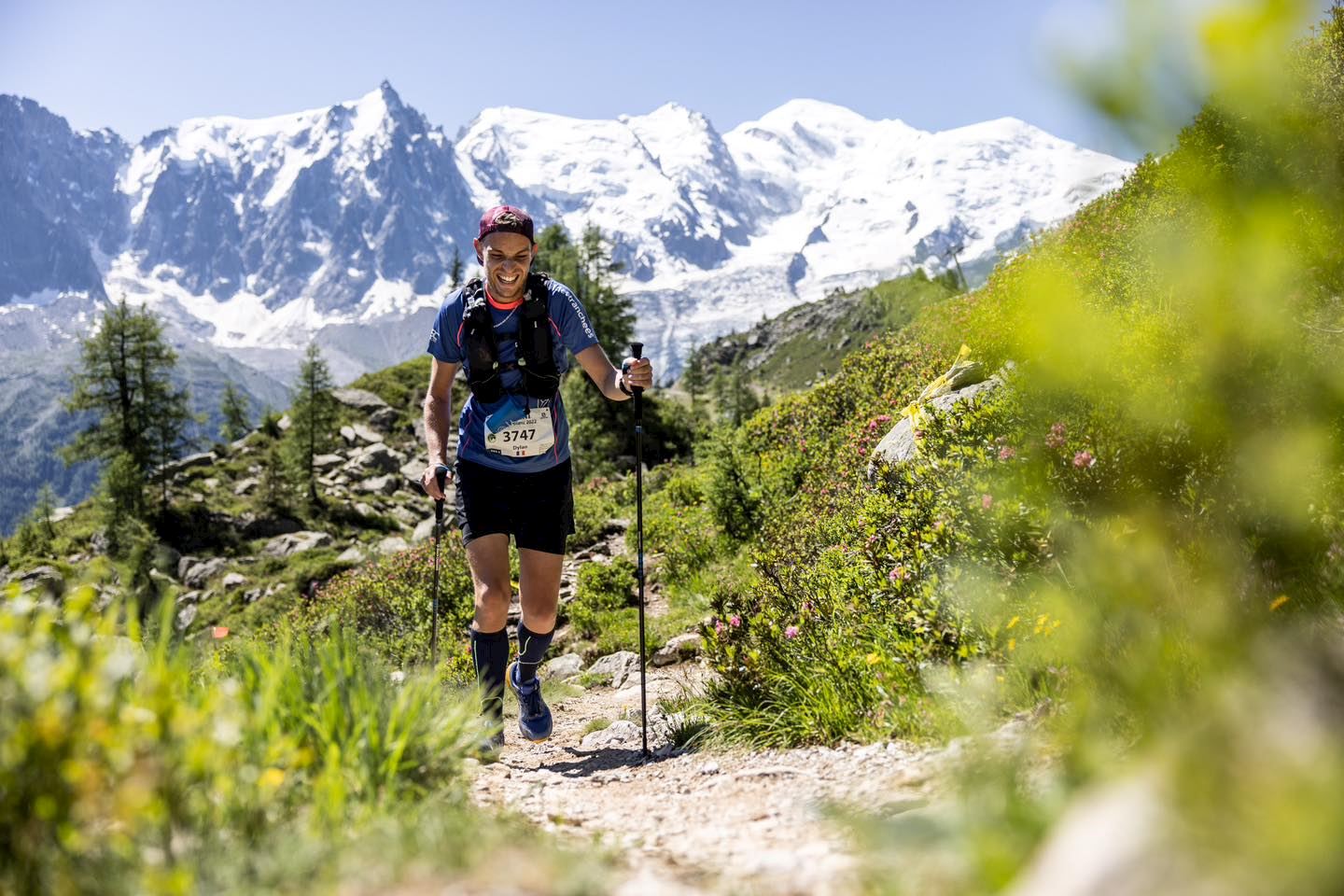
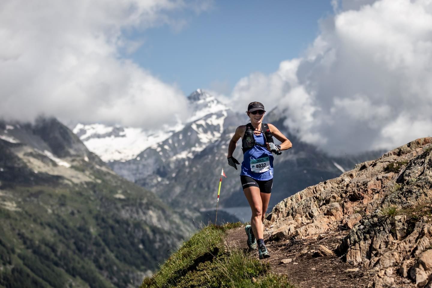
The Mont-Blanc Marathon is an annual event held in the Chamonix Valley of the French Alps. This challenging race features some of the most breathtaking mountain scenery in Europe and is a must-do for any runner looking for a unique and beautiful challenge. The marathon course takes runners up and down the slopes of Mont Blanc, the highest peak in the Alps, and passes by glaciers, alpine meadows, and some of the most stunning views in the world. Along with getting to experience the beauty of the Alps, runners can also look forward to a festive post-race party, with plenty of food, music, and camaraderie.
Detalles de la ruta
Trail in semi autonomy which includes 5 full refreshment stations and 3 light refreshment stations.
A route with a distance of 92 km and a vertical gain of 6330m (reference : ITRA). One fallback path : in case of very bad weather conditions preventing rescue helicopter (78km and about 5000 of vertical gain).
Open for the ‘Espoir’ category and upward.
Limited to 1000 runners.
Maximum time : 25 hours
Route is predominantly on technical mountain paths situated between 1500m and 2500m in altitude, with a finish in Chamonix.
Start in 2 waves every 10 minutes on Friday June 23rd, 2023 from 4:00 to 4:00am.
Advised minimum performance index: 450.
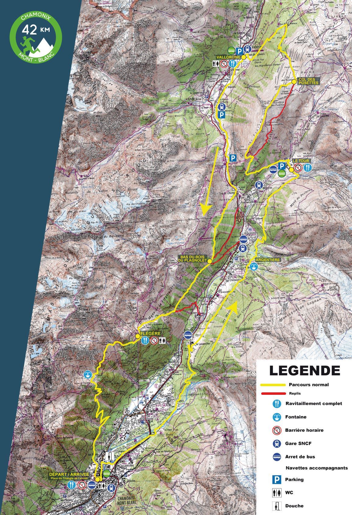
MONT-BLANC 42KM
Trail race in semi-autonomy which includes 3 full refreshment stations
Distance of 42km coupled with a positive vertical gain and drop of 2540m
Open from the ‘Espoir’ category and upward
Limited to 2300 runners
Maximum time : 10 hours
Race is on mountain trails between 1000m and 2200m in altitude with a finish in Chamonix town.
Departure with several waves
Start in 4 waves every 10 minutes on Sunday 25th June, 2023 from 7:30 to 8:00am
Advised minimum performance index : 350
MONT-BLANC 23KM
Short trail which includes 2 full refreshment stations.
Distance of 23km with a vertical gain of 1680m, and a 870m vertical drop.
Open from the ‘Espoir’ category and upward
Limited to 2000 runners
Departure with several waves
Maximum time : 6 hours
Route is on mountain trails between 1000m and 2000m in altitude with a finish at 2000m.
Start in 4 waves every 10 minutes on Saturday 24th June, 2023 from 8:00 to 8:30am.
Advised minimum performance index: 270
DUO ETOILE
Discovery Trail which includes two full refreshment points.
Distance of 20km with a positive and negative vertical gain of 1500m.
Open from ‘Junior’ category and upward.
Maximum time : 6:30 hours
Start on Saturday 24th June, 2023 at 7:30 pm place du triangle de l’amitié in Chamonix.
Start address: Chamonix,fr
Finish address: Chamonix,fr
Mapa de ruta
What’s included
-
done Timing chip (single use)
-
done Drink Stations
-
done Nutrition Stations
-
done Medical Assistance
-
done Bag drop
-
done Toilets
Comentarios
Se el primero en escribir una reseña para este evento
La información de la carrera se ha encontrado en el sitio web oficial del evento o en otras fuentes de acceso público. Consulta siempre el sitio web oficial para obtener la información más actualizada sobre la carrera. Si falta algún dato o hay algún error, envíanos un correo electrónico para informarnos..


