Brookings Marathon


Join Brookings Marathon
The Annual Brookings Marathon is a Boston qualifier, USATF Certification #SD 08006TLB.
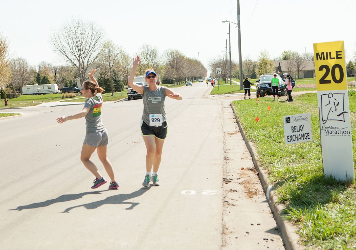
The marathon distance has a rich tradition in Brookings. This South Dakota community has hosted a 26.2 mile event since 1970. The course has varied over the years, with many outstanding performances along the way. However, the present layout has received the most praise and enthusiasm from runners and spectators alike. Re-created in 2004, the Brookings Marathon captures small town running at its finest. All of what makes Brookings a great place to live is on display as runners pace their way thru neighborhoods and parks, bike paths and downtown, historic districts and South Dakota State University.
Course highlights
Miles 1-2: Well protected, established trees all around. Flat but a few turns. At the one mile marker down to Western Ave, there will be a very gentle downhill (note, course varies in elevation about 100 feet start to finish).
Mile 2-3: At Sexauer Park, there will be a short stretch on firm grass. A small, narrow bridge crosses a creek here. Gentle uphill to Rotunda Lane. A little more open here, could have some wind if out of the north.
Miles 3-5: Through campus and around McCrory Gardens, fairly well protected.
Miles 5-8: Back through main part of town. Well protected and little elevation change.
Mile 8-9: Gentle downhill to Larsen park and mile marker nine. Here is the base of the biggest hill on the course. Rises about 70 feet in a 200 yard stretch. On the back side of the hill is a fairly quick but short downhill stretch.
Miles 9-11: Minimal elevation change, again through established trees and in town.
Mile 11: Here half marathoners split off. Marathoners will go under the railroad tracks through a viaduct. Quick down and up, shouldn't be too noticeable.
Miles 11-13: Through town, no significant changes Mile 13 This will be on gravel for about a half mile. Should be firm. Open area here and could be windy from almost any direction. Once to the bike path, all smooth asphalt with adjoining grass surface.
Mile 13-17: Bike path with gentle rolling hills to mile marker 14. From 14 to near 16, a gradual downhill. Most troublesome would be wind out of the south, but do have some protection along bike path for much of this stretch.
Miles 17-20: Gentle rolling hills, slightly up. Not much wind protection. The long stretch along 12th Street just before mile marker 20 should allow view of participants ahead or behind you.
Mile 20-22: Very gentle uphill, continuing through Half Moon Road.
Mile 23: All of the sidewalks here pass under roads, fairly well protected. From Council Ridge Rd to the water station is a fairly brisk rise of about 50-60 feet. Also enough curves that you can't see too far ahead. From the water station to Western Ave is downhill.
Mile 24-25: A little more exposed, at least to mile marker 25.
Mile 25-26: No significant elevation changes. Well protected back to Pioneer Park.
Comentarios
Se el primero en escribir una reseña para este evento
La información de la carrera se ha encontrado en el sitio web oficial del evento o en otras fuentes de acceso público. Consulta siempre el sitio web oficial para obtener la información más actualizada sobre la carrera. Si falta algún dato o hay algún error, envíanos un correo electrónico para informarnos..