Squaw Peak 50 Mile Trail Run

Join Squaw Peak 50 Mile Trail Run
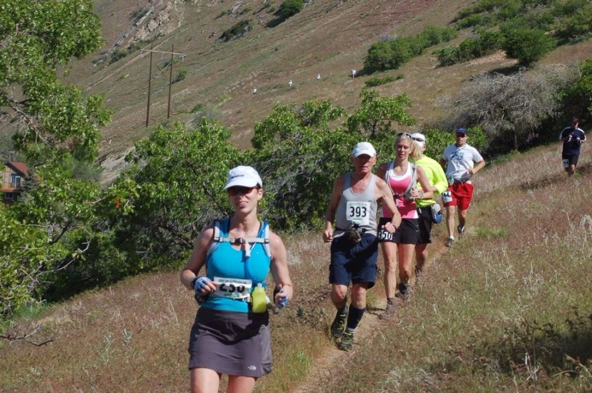
The Squaw Peak 50 Mile Trail Run is a very challenging, difficult and scenic loop course through the Wasatch Mountains above Provo, Utah. The Wasatch Range is a mountain range that stretches approximately 160 miles (260 km) from the Utah-Idaho border, south through central Utah in the western United States. It is the western edge of the greater Rocky Mountains, and the eastern edge of the Great Basin region. The northern extension of the Wasatch Range, the Bear River Mountains, extends just into Idaho, constituting all of the Wasatch Range in that state. According to the Utah History Encyclopedia, Wasatch in Ute means "mountain pass" or "low pass over high range." According to William Bright the mountains were named for a Shoshoni leader who was named with the Shoshoni term wasattsi, meaning "blue heron".The Squaw Peak 50 is considered to be the hardest 50-mile trail race in Utah and is rated as the third hardest in the United States (based on average finishing time of its racers); even finishing it is quite an accomplishment.
The trail will be marked. It consists of – dirt trails (43%), dirt roads (38%) and some paved (19%). The paved sections are: The first 2.1 miles from the start at Vivian Park down the Provo River Trail to the left turn onto the dirt trail . Then at the 22.7 mile mark, for 3.7 miles when you come out onto the Hobble Creek Road, and the last 3.7 down to the finish.
Bewertungen
Es liegt zu diesem Event keine Bewertungen vor...möchtest du die erste schreiben?
Die Renninformation wurde auf der offiziellen Website der Veranstaltung oder über öffentlich zugängliche Quellen gefunden. Auf der offiziellen Website finden Sie stets die neuesten Informationen zum Lauf. Bitte lassen Sie es uns wissen, wenn Daten inkorrekt sind oder fehlen, indem Sie uns eine E-Mail schreiben.


