

Join Asics Malcesine Baldo Trail 2026
The Asics Malcesine Baldo Trail offers an exhilarating two-day event set against the stunning backdrop of Lake Garda and Mount Baldo. Starting and finishing in the charming village of Malcesine, participants can choose from three distinct race distances, each promising breathtaking views and challenging terrains. Whether you're a seasoned trail runner or a passionate beginner, this event delivers an unforgettable experience in one of Italy's most picturesque landscapes.
Course details
For many, this may be an almost impossible distance to travel, without considering the more than 3,000 meters of elevation gain. On this curse many sports and mountain enthusiasts can have a taste of trail running in its purest form and appreciate every feature of the Mount Baldo range. A journey for the trailer!
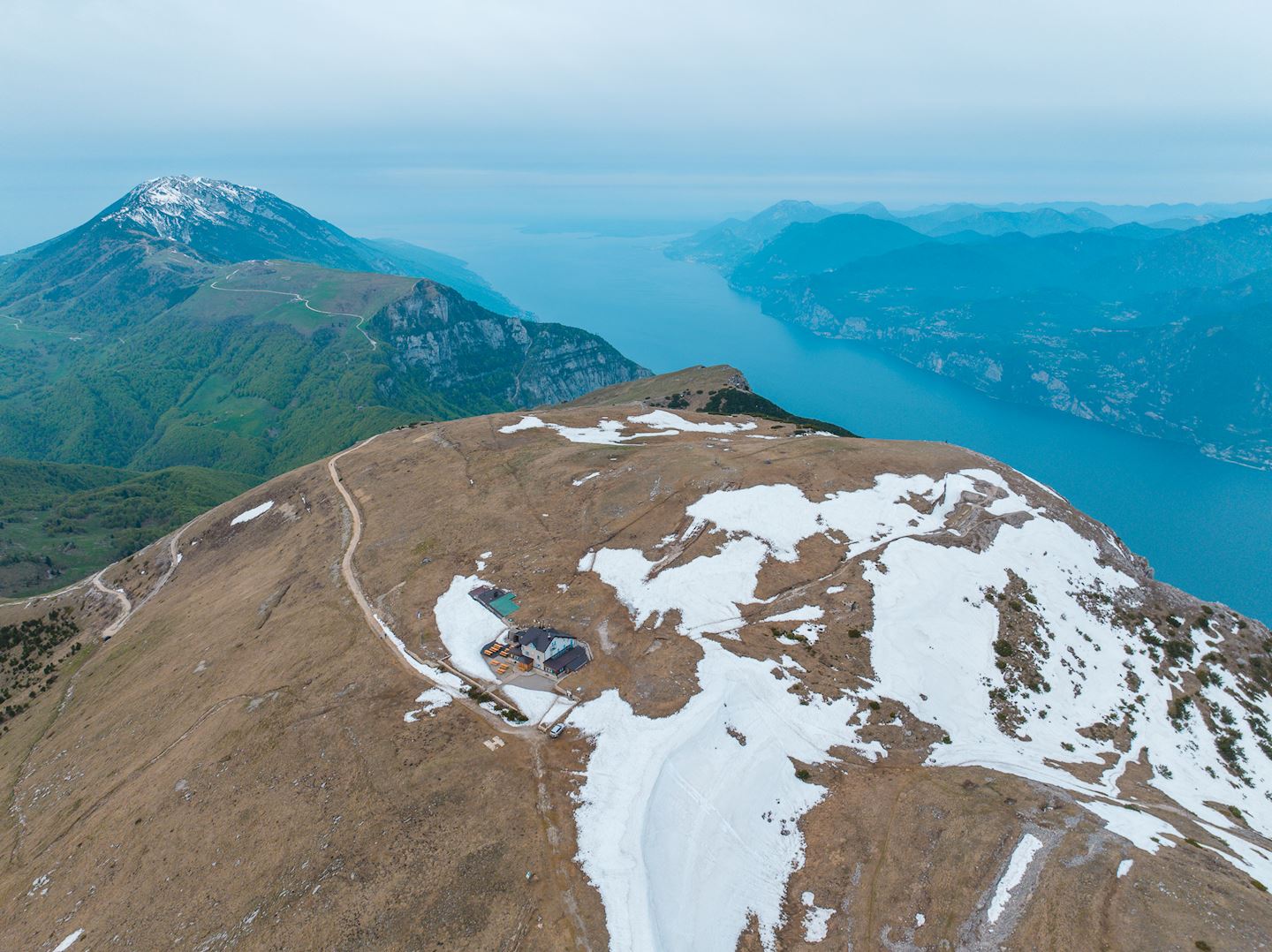
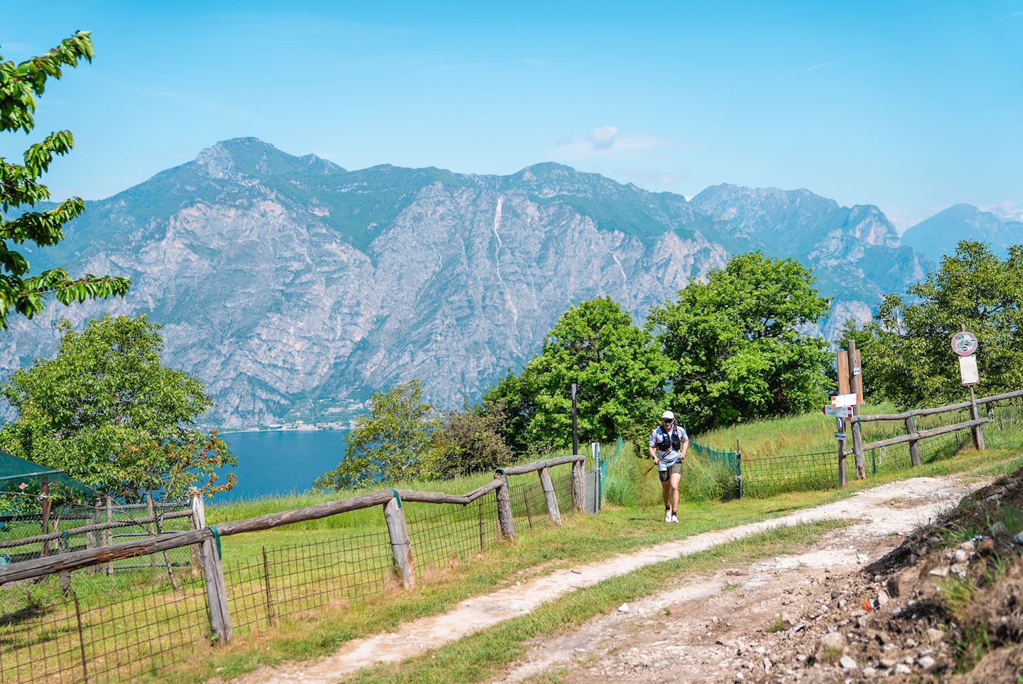
This circular course starts and ends on the lakefront of Malcesine. For the first 9km it follows the same path as the 24K race, and takes the athletes to an elevation gain of 1340mt. After the first 2km on tarmac, the course exits from the town to immediately climb on a panoramic path, first on cart tracks and dirt roads, then on singletrack through oak and chestnut forests. At Km 9, near Bocca di Navene (1420mt ASL), where the view discloses the eastern slope of Mount Baldo, there are the first refreshment station and the split time checkpoint. From here the course climbs further north on singletrack towards Mount Altissimo; above 1700mt ASL the vegetation thins out giving way to meadows and open spaces. At Km 13 near the Altissimo refuge, competitors will reach the highest elevation point of the entire event at 2060 meters above sea level where they can take advantage of an additional water point. At that point, the track turns southwards to explore the eastern slope of Mount Baldo, where one can appreciate the morphologic and climate diversity compared to the western slope, which is mitigated by the influence of Lake Garda. There begins a more runnable stretch, with ups and downs, allowing to increase the stride length and enjoy the wide panoramas of Corna Piana. At Km 21 at the Fos-Ce refuge is the second refueling point. From here on alternating between cart track and trail, continue for another 9 km with a loss of elevation of about 300mt until reaching the third refreshment point in loc. Madonna della Neve.. In this stretch, the course is surrounded by malghe, typical shepherd huts, and pastures. From the 31st km, the route again begins to gradually regain altitude until the 37th km where the fourth refueling point is located in loc. Prà Alpesina (1450 m asl) to then engage the athletes with an uphill tear on single track of 2 km useful to gain again the summit of Monte Baldo at the top station of the cable car; here is placed the time gate, the fifth refueling point and also the third intermediate chronometric survey. From this point onward, the course follows a progressive descent, connecting to the second part of the 24K race. Some of these steep slopes consist of technical sections, some others are more smoothly runnable, crossing forests of conifers first and beech then. The descent, passing through loc. i Prai, leads in about 9 km to lose a little more than 1100mt of altitude until reaching the intermediate station of the Cable Car in loc. St. Michael’s at which the sixth refueling point will be available. From here on, you re-enter the “olive tree coastal strip” and descend on cart tracks and path until you find the town again for the last 2 km on cobblestones and asphalt.
26K
A blue-tinted dream from Malcesine to the summit of Mount Baldo. The blue of Lake Garda blends with the blue sky in an extraordinary panorama which pleases the eye with all its breadth: from the snowy peaks of the Alps to the sharp silhouettes of the closest mountains, and the gentleness of the plains. The track is capable of arousing new emotions again and again.
The loop course with start and finish on the Malcesine lakefront leads athletes to gain 1700mt of elevation gain in about 11.5Km. From the 89mt ASL of Malcesine it reaches the 1769mt ASL by the summit cable car station. After the first 2km on tarmac, the course exits from the town to immediately climb on a panoramic path, first on cart tracks and dirt roads, then on singletrack through oak and chestnut forests. The first refreshment station is at Km 9, near Bocca di Navene (1420mt ASL), where the view discloses the Eastern slope of Mount Baldo. Some meters past the refreshment station, which is also a split time checkpoint, the course enters a singletrack trail that climbs progressively through an increasingly sparse vegetation, to reach its highest point at km 11.5 (1769mt ASL), by the cable car summit station, where there are the cut-off point, the second refreshment station, and the second split time checkpoint. From this point onward, the course follows a progressive descent: some of these steep slopes consist of technical sections, some others are more smoothly runnable, crossing forests of conifers first and beech then. The descent, passing through loc. i Prai, leads in about 9 km to lose a little more than 1100mt of altitude until reaching the intermediate station of the Cable Car in loc. St. Michael’s at which the third refueling point will be available. From here on, you re-enter the “olive tree coastal strip” and descend on cart tracks and path until you find the town again for the last 2 km on cobblestones and asphalt.
16K
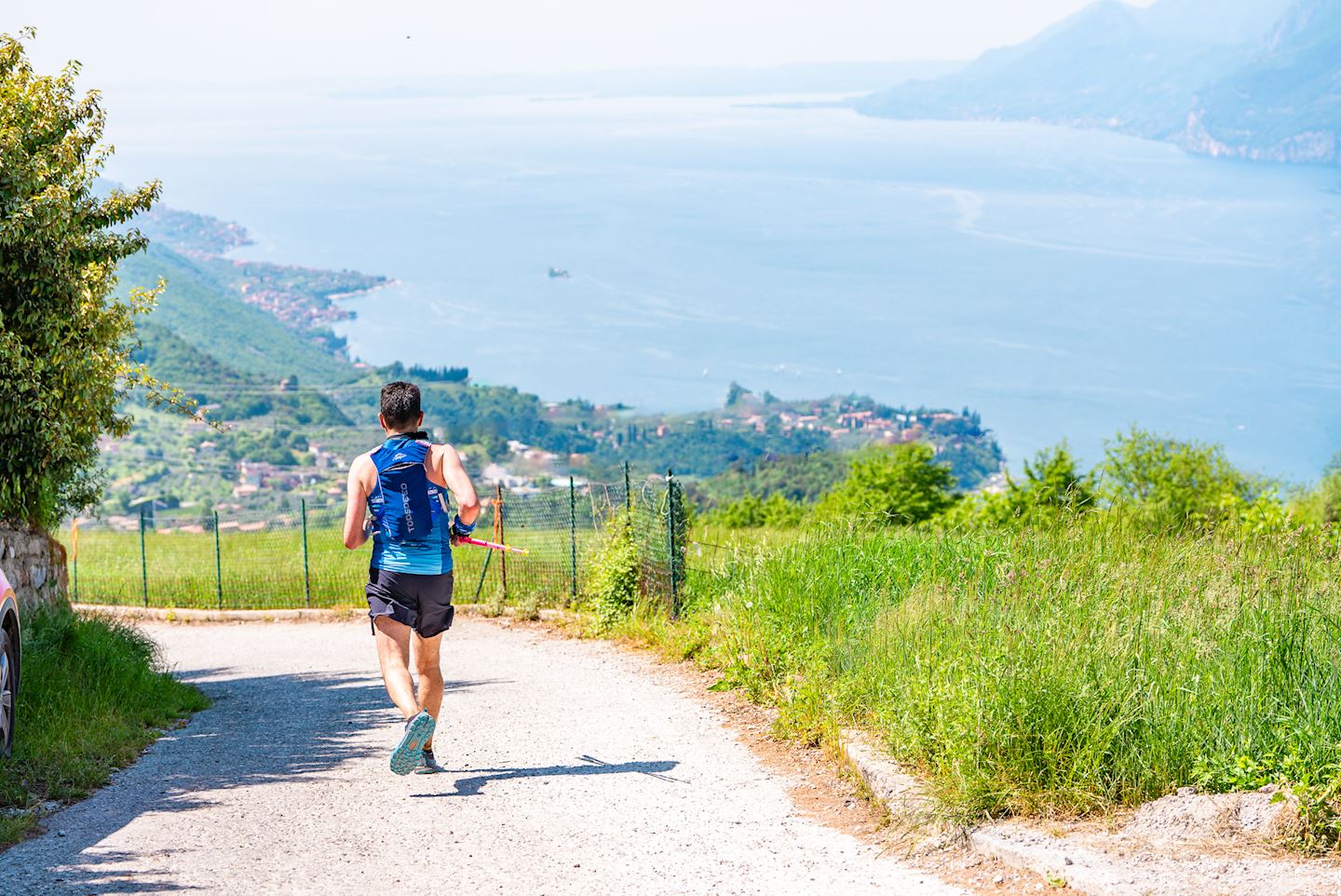
This Short version of the MBTrail running is perfect for those approaching the world of Trail running: a trail in the quietness of nature and highly scenic that will get you in touch with the real Monte Baldo and its incredible scenery! Despite its reduced length, the course embraces all the characteristic features of the conformation of the mountain’s western slope: breathtaking climbs, singletrack paths, and technical sections to be tackled with maximum concentration. This circular course goes northward from Malcesine; after 2km of cobbled road, it enters a trail until km 5, where there is the first refreshing station, next to some recently discovered trenches dating back to the First World War. Here the course starts climbing for an elevation gain of 400mt in 2km, reaching one of its two highest points (713m ASL). The next 5km turn southward with a series of ups and downs until km 11.8, at the intermediate cable car station, where there is the second refreshing station. From here on, the more flowing and runnable part of the race begins with gradual loss of elevation initially on trail and in the last 1.5Km on cobblestones/asphalt to the town of Malcesine.
Start address: Via Paina, 43, 37018 Malcesine VR, Italia
Finish address: Via Paina, 43, 37018 Malcesine VR, Italia
Anmelden
Registrierung schließt am 28 April (87 Tage bis zur Veranstaltung)
The current price step is valid until 31 Januar, 2026
ausgewählte Tickets
Gesamt
Eine volle Rückerstattung innerhalb von 24 Stunden nach der Anmeldung ist möglich.
What’s included
-
done Finisher medal
-
done Goodie bag
-
done E-certificate/e-diploma
-
done Timing chip (single use)
-
done Photo Service
-
done Post-race meal
-
done Massage
-
done Drink Stations
-
done Nutrition Stations
-
done Medical Assistance
-
done Bag drop
-
done Toilets
-
done Shower
-
done Dressing rooms
Bewertungen
Es liegt zu diesem Event keine Bewertungen vor...möchtest du die erste schreiben?
Häufig gestellte Fragen
When and where can I collect my BIB/race pack?
Race pack collection Bibs can be picked up in Malcesine at the event’s Expo area along Lake Paina from the event secretariat upon presentation of the confirmation letter and photo ID: Friday, May 03 from 5:00 p.m. to 8:00 p.m. (for members of all distances) Saturday, May 04 from 6:00 a.m. to 8:00 a.m. (for 24K and 50K entrants) and from 2:00 p.m. to 7:00 p.m. ( for 16k entrants) Sunday, May 05 from 8:00 a.m. to 9:00 a.m. (for those registered for the 16K)
What is the cancellation/refund policy for this event?
There is no refund of the registration fee under any circumstances. It is possible to transfer one’s already purchased Bib, no later than 20.04.2025. In this case, the successor competitor will have to pay the secretarial fees and the difference between the fee paid by the transferor and the fee in effect at the time of the change request.
Mandatory equipment
- Personal glass with a minimum capacity of 150 cc (water bottle if with a wide cap is valid as a glass): NO GLASSES ARE PROVIDED AT REFRESHMENTS! - Race rucksack to carry the obligatory equipment - Thermal sheeting ? - Waterproof jacket (in case of heavy rain forecast with 20k water column) - Whistle - Cell phone - Adequate water supply (minimum 1 liter ) - Suitable footwear for running on mountain terrain (rocks, stones, gravel) - Energy bars or solid foods
Recommended material
- Cap or bandanna - Gloves - Sun glasses - Sun protection cream - Long-sleeved thermal shirt - Third layer (winter jacket) in case of particularly cold weather - Mineral salts
Cut-off time 52K
The maximum time for the 52k race is 12 hours There will be one or more split time checkpoints, which will be determined according to the total distance and the logistical characteristics of the course. Athletes who do not pass the checkpoint within the time limit will be considered to have dropped out of the race and will be taken back to the start/finish point by the organising committee. The participant who is eliminated from the race and continues to run nevertheless assumes full responsibility for the resulting consequences. In case of bad weather conditions and/or for safety reasons, the organization reserves the right to suspend the current trial, delay the start, vary the course, change the time barriers or cancel the race, without prior notice. CONTROL GATES Gate 1 – Rifugio Fos-ce ( km 20 ) 6h ( ore 13.30 ) Gate 2 – Pra Alpesina ( Km 37 ) 8h30′ ( ore 16.00 ) Gate 3 – Funivia Tratto Spino ( Km 39 ) 9h30′ ( ore 17.00 )
Cut-off time 26K
The maximum time for the 26k race is 8 hours There will be one or more split time checkpoints, which will be determined according to the total distance and the logistical characteristics of the course. Athletes who do not pass the checkpoint within the time limit will be considered to have dropped out of the race and will be taken back to the start/finish point by the organising committee. The participant who is eliminated from the race and continues to run nevertheless assumes full responsibility for the resulting consequences. In case of bad weather conditions and/or for safety reasons, the organization reserves the right to suspend the current trial, delay the start, vary the course, change the time barriers or cancel the race, without prior notice. CONTROL GATES Gate 1 – Funivia alta Tratto Spino ( km 12) 5h ( ore 13.30 )
Cut-off time 16K
The maximum time for the di 16k race is 4 hours and30 minutes An intermediate chronometric control point is foreseen, fixed on the basis of the overall distance and the logistical characteristics of the race track. Athletes who do not pass the checkpoint within the time limit will be considered to have dropped out of the race and will be taken back to the start/finish point by the organising committee. The participant who is eliminated from the race and continues to run nevertheless assumes full responsibility for the resulting consequences. In case of bad weather conditions and/or for safety reasons, the organization reserves the right to suspend the current trial, delay the start, vary the course, change the time barriers or cancel the race, without prior notice. CONTROL GATE San Michele cableway (11.5 km) 3H (1.00 pm)
Die Renninformation wurde auf der offiziellen Website der Veranstaltung oder über öffentlich zugängliche Quellen gefunden. Auf der offiziellen Website finden Sie stets die neuesten Informationen zum Lauf. Bitte lassen Sie es uns wissen, wenn Daten inkorrekt sind oder fehlen, indem Sie uns eine E-Mail schreiben.


