Diez Vista 50k


Join Diez Vista 50k
Port Moody is a city in Metro Vancouver, enveloping the east end of Burrard Inlet in British Columbia, Canada. Port Moody is the smallest of the Tri-Cities, bordered by Coquitlam on the east and south, and Burnaby on the west. The villages of Belcarra and Anmore, along with the rugged Coast Mountains, lie to the northwest and north respectively. It is named for Richard Moody, the first Lieutenant-Governor of the Colony of British Columbia. It is also host to the annual Diez Vista 50km.
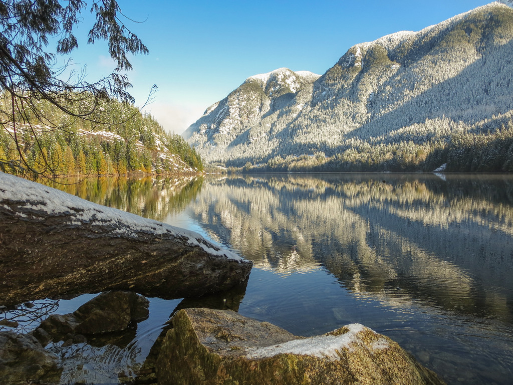
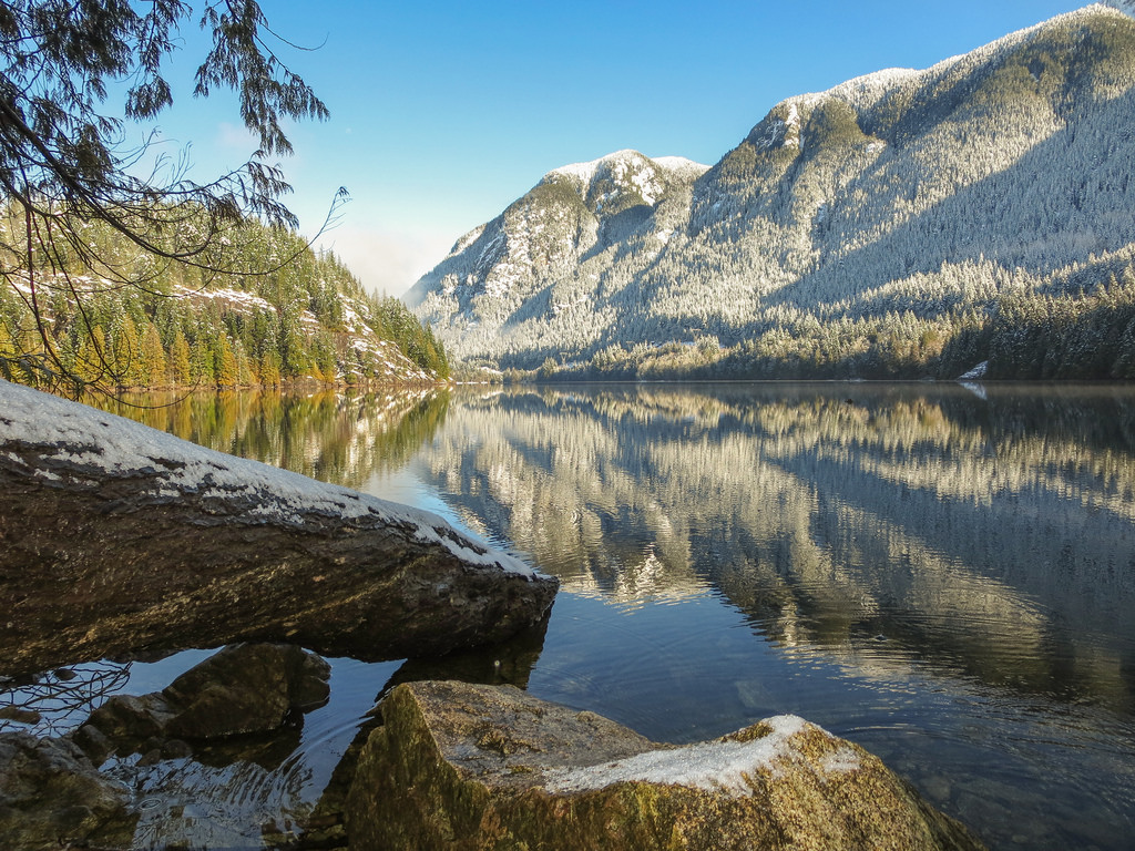
The Diez Vista 50km Trail Run traverses rugged west coast trails around Sasamat and Buntzen Lakes, and the Diez Vistas ridge. Offering runners breathtaking views as they traverse this challenging course.
Course highlights
Start at Belcarra Regional Park, Sasamat Lake, White Pine Beach, Parking lot “A”. Head north out of Parking Lot “A” on the road, winding past the parking areas. After a short distance on the pavement, make a right turn through the yellow gate onto the wide dog-walking trail. Follow this trail as it winds around Sasamat Lake, which will be on your left side. About halfway around the lake, you approach a bridge across the lake. DO NOT CROSS THE BRIDGE. Instead, bear right up to the road. Run on the paved shoulder, bearing left around the corner, then up the hill. Turn onto the entrance road to Belcarra Regional Park, run along the road and then right onto the trail through Gate “WP1” toward Buntzen Ridge. Follow this trail up, up, up. Just after the first view on your left of the Vancouver area, bear left on the trail. Follow the trail around the S curve to the Saddle, which is the location of Aid Station #1.
At the AS, turn left and up onto the Diez Vista Trail. Follow the ridge past the view points. After a rooty, rocky, trail up and then a very steep down hill, you will arrive on a gravel road. Turn right. In a short distance, turn left onto the Old Buntzen Trail. Again you end up on to a service road. Turn right on the road, cross the bridge over the big pipe and through a gate. In a short distance, you arrive at Aid Station #2.
Continue along the gravel road, with the lake on your right, to Buntzen North Beach. Cross the suspension bridge and bear left, with the lake now on your left. Follow the Buntzen Lake Trail until you arrive at Pumphouse Road. Follow this gravel road until you can turn left onto the berm and the floating bridge which crosses the lake. Once across the lake, bear left. Follow the trail, turning left at the only intersection. Turn left again onto the Energy Trail. After 200m, turn right, still on the Energy Trail, and then left again in another 100m, still on the Energy Trail. Climb up, over and down the knoll, ending up at the Buntzen South Beach gazebo, Aid Station #3.
From AS#3, run across the lawn, past the washroom buildings and reconnect to the Buntzen Lake Trail along the east side of the lake, heading north. When you will exit the trail at a gravel road, make a hair-pin right turn up onto the gravel road. Later on, turn left at the Academy Trail. Follow Academy until you arrive at the Equestrian Parking Lot, Aid Station #4.
Continue along the Academy Trail. Turn left at the Horner’s Corner 3-way junction onto the Eagle Bluff Trail, climbing up to a fork in the trail just before a small bridge. Bear left here and continue up to the powerline. Turn right, south, at the powerline and follow it all the way to the end at Eagle Mountain Drive. Note – just after passing a BC Rail bridge, bear left out onto the road to Aid Station #5
From AS#5, turn around and retrace your foot steps all the way back to the Academy Trail. At the Horner’s Corner 3-way junction, turn left, back onto Academy Trail. Carefully cross the park service road and the Buntzen Lake Parkway road. The trail ends at Pumphouse Road, a gravel service road. Turn right and follow it down to Aid Station #6.
From AS#6, turn left into the trail and head up the Diez Vista Trail [affectionately, “FYG Hill” – you will know why as you climb it on tired legs]. As you crest the top of the climb, you will be back at the AS#1 junction. Turn left and follow this trail [the same one you climbed hours earlier] until you exit at Gate “WP1”. Turn left, carefully cross the Belcarra Regional Park Road, and turn right down the stairs. Once down at Sasamat Lake, turn right at the bridge. DO NOT CROSS THE BRIDGE. Follow the lakeside trail until you reach a set of stairs leading up from the lake. Turn right, up the stairs to the finish line.
Bewertungen
Es liegt zu diesem Event keine Bewertungen vor...möchtest du die erste schreiben?
Die Renninformation wurde auf der offiziellen Website der Veranstaltung oder über öffentlich zugängliche Quellen gefunden. Auf der offiziellen Website finden Sie stets die neuesten Informationen zum Lauf. Bitte lassen Sie es uns wissen, wenn Daten inkorrekt sind oder fehlen, indem Sie uns eine E-Mail schreiben.