

Join Buffalo Stampede Festival
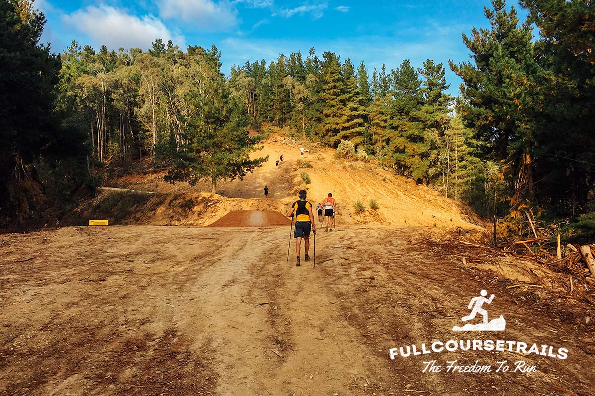
Buffalo Stampede Ultra SkyMarathon course takes runners on a tough 75.4km challenge taking in the unique scenery of the amazing Mt Buffalo in Victoria’s Alpine country.
Starting in the picturesque and welcoming township of Bright at the foothills of some of Australia’s most impressive mountains, The Buffalo Stampede covers 75km with the main attraction being the climb to the Mt Buffalo Chalet and the unique formations of Mt Buffalo.
Course highlights
Leg 1: Bright to Buckland
Description: Starting in Howitt Park on the banks of the Ovens River and in the centre of Bright, runners embark on their journey running through the caravan park along the banks of Morses Creek and following the creek up past the showgrounds and under the Coronation Avenue and onto White Star Ridge mountain bike trail where runners climb to the summit of Mystic. Across the launchpad and then down the spur to Bakers Gully and back up to Clearspot before starting the descent through pine plantation to the Buckland Valley and Aid Station 1. As runners travel down Harris Rd into the Buckland Valley, they get the first full frontal look at Mt Buffalo in the distance with Keating Ridge in the foreground. Both need to be tackled.
Distance: 0 – 15.2km (15.2km)
Elevation: 1029m Ascent + 1092m Descent
Leg 2: Buckland to Eurobin Creek
Description: After getting their first glimpse of Mt Buffalo coming into the Buckland Checkpoint – runners start through the settlement of Buckland and through farmland and up and over Keating Ridge. This is another testing and steep grade trail with a great downhill into the Eurobin Creek Picnic Area.
Distance: 15.2km – 24.3km (9.1km)
Elevation: 349m Ascent + 333m Descent
Leg 3: Eurobin Creek to Chalet
Description: The perfect setting for an aid station – Eurobin Creek will be cram packed with runner and crew facilities. Runners then face “The Big Walk”… 10km with elevation of 1126m. Taking in some of Mt Buffalos finest views and traversing soaring granite rock faces runners reach the Chalet before turning to retrace their steps.
Distance: 24.3km – 34.3km (10km)
Elevation: 1126m Ascent + 86m Descent
Leg 4: Chalet to Chalwell Galleries (return)
Description: Leaving the Chalet runners take the underground river track over rocks and creeks to Lake Catani. From here runners follow the waters edge along the Lake to Chalwells Galleries, Chalwells Galleries presents unique challenges as runners navigate monumental rock formations and return via the underground river track for a welcome finish at Mt Buffalos Grand Chalet.
Distance: 34.3km – 41.4km (7.1km)
Elevation: 430m Ascent + 430m Descent
Leg 5: Chalet to Eurobin Creek
Description: Down The Big Walk to Eurobin Creek Picnic Ground – quads will be screaming!
Distance: 41.4km – 51.4km (10km)
Elevation: 86m Ascent + 1126m Descent
Leg 6: Eurobin Creek to Buckland
Description: Retracing your steps across Keating Ridge to Buckland Valley and the last aid station before the finish line.
Distance: 51.4km – 60.5km (9.1km)
Elevation:333m Ascent + 349m Descent
Leg 7: Buckland to Bright
Description:From Buckland to Bright. Runners make their way up to Clearspot, down to Bakers Gully and back up to Mystic then the final descent to Bright and the banks of the Ovens River to the finish.
Distance: 60.5km – 75.5km (15km)
Elevation: 1092m Ascent + 1029m Descent
Bewertungen
Es liegt zu diesem Event keine Bewertungen vor...möchtest du die erste schreiben?
Die Renninformation wurde auf der offiziellen Website der Veranstaltung oder über öffentlich zugängliche Quellen gefunden. Auf der offiziellen Website finden Sie stets die neuesten Informationen zum Lauf. Bitte lassen Sie es uns wissen, wenn Daten inkorrekt sind oder fehlen, indem Sie uns eine E-Mail schreiben.