
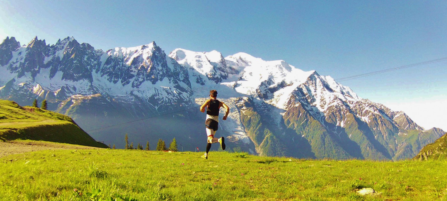
Join Buffalo Stampede Sky Marathon
The Buffalo Stampede Marathon is a fun filled tough Marathon for all levels of trail runner looking for a challenge. The Marathon takes in part of the Ultra SkyMarathon Course and is a great stepping stone for runners looking to move into the Ultra Distance. The course starts in Bright and finishes at the iconic Mt Buffalo Chalet.
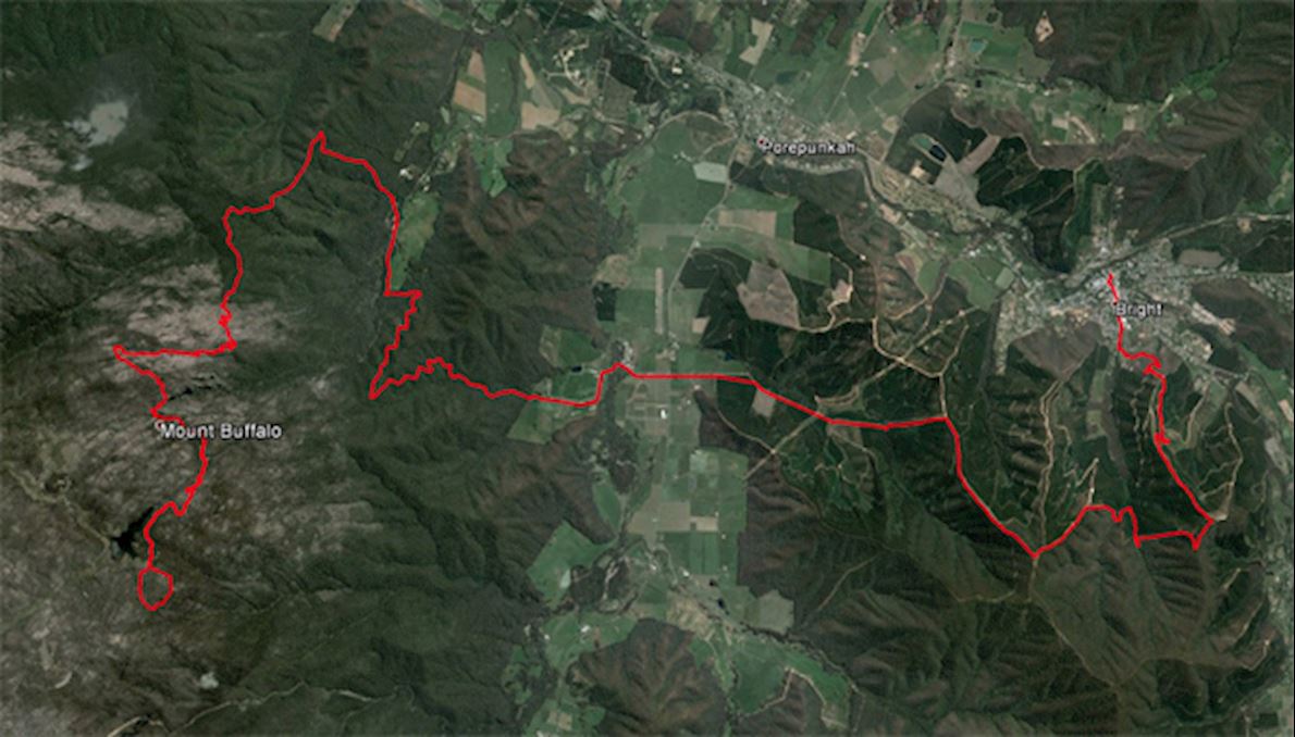
Starting in the picturesque and welcoming township of Bright at the foothills of some of Australia’s most impressive mountains, The Buffalo Stampede Marathon covers 41.4km with the main attraction being the climb to the Mt Buffalo Chalet and the unique rock formations of Mt Buffalo. Mt Buffalo is truely a unique and amazing landscape.
Course highlights
Leg 1: Bright to Buckland
Description: Starting in Howitt Park on the banks of the Ovens River and in the centre of Bright, runners embark on their journey through the streets of Bright and onto the single tracks of Bakers Gully to undertake the first climb of the day with a 700m haul to the top of Mystic Mountain then down the spur to Bakers Gully and back up to Clearspot before starting the descent through pine plantation to the Buckland Valley and Aid Station 1. As runners travel down Harris Rd into the Buckland Valley, they get the first full frontal look at Mt Buffalo in the distance with Keating Ridge in the foreground. Both need to be tackled. The Aid station is based at the bottom of Warners walls.
Distance: 0 – 14km (14km)
Elevation: 1029m Ascent + 1092m Descent
Leg 2: Buckland to Eurobin Creek
Description: After getting their first glimpse of Mt Buffalo coming into the Buckland Checkpoint – runners start through the settlement of Buckland and through farmland and up and over Keating Ridge. This is another testing and steep grade trail with a great downhill into the Eurobin Creek Picnic Area.
Distance: 15km – 24.3km (9.1km)
Elevation: 349m Ascent + 333m Descent
Leg 3: Eurobin Creek to Chalet
Description: The perfect setting for an aid station – Eurobin Creek will be cram packed with runner and crew facilities. Runners then face “The Big Walk”… 10km with elevation of 1126m. Taking in some of Mt Buffalos finest views and traversing soaring granite rock faces runners reach the Chalet before turning to retrace their steps.
Distance: 24.1km – 34.3km (10km)
Elevation: 1126m Ascent + 86m Descent
Leg 4: Chalet to Chalwell Galleries (return)
Description: Leaving the Chalet runners take the underground river track over rocks and creeks to Lake Catani. From here runners follow the waters edge along the Lake to Chalwells Galleries, Chalwells Galleries presents unique challenges as runners navigate monumental rock formations and return via the underground river track for a welcome finish at Mt Buffalos Grand Chalet.
Distance: 7.1km – 41.4km
Elevation: 430m Ascent + 430m Descent
Route
directions_runStart address: Bright VIC 3741, Australia
flagFinish address: Mount Buffalo VIC 3740, Australia
Die Renninformation wurde auf der offiziellen Website der Veranstaltung oder über öffentlich zugängliche Quellen gefunden. Auf der offiziellen Website finden Sie stets die neuesten Informationen zum Lauf. Bitte lassen Sie es uns wissen, wenn Daten inkorrekt sind oder fehlen, indem Sie uns eine E-Mail schreiben.