menu

Tihiorace Mountain Bike

Tichio, Greece

27-28 4月 2024 (Sat - Sun)

directions_run

74km, 34km, 16km, 108km

Tihiorace Mountain Bike

local_activity 优惠和折扣

verified_user Refundable Booking option

credit_card Secure payments

Join Tihiorace Mountain Bike

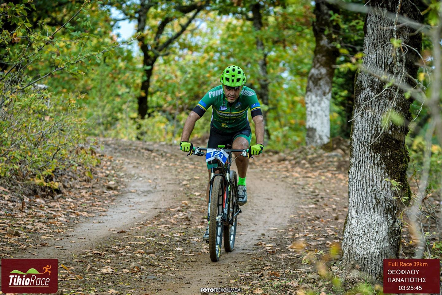
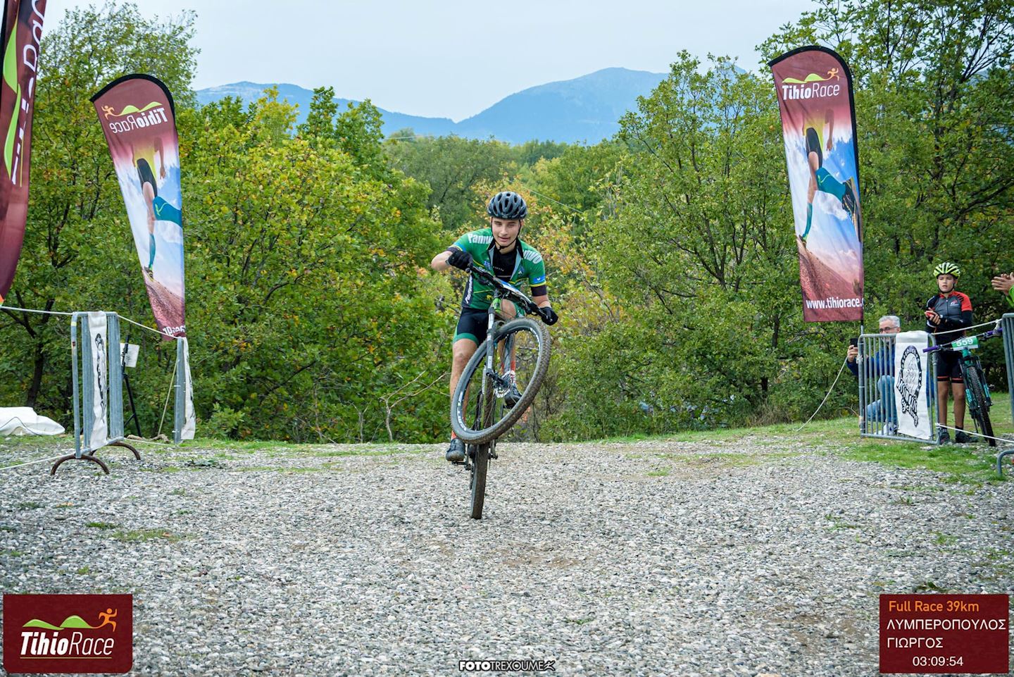
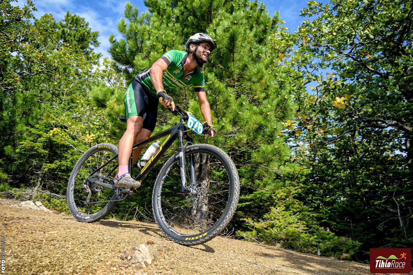
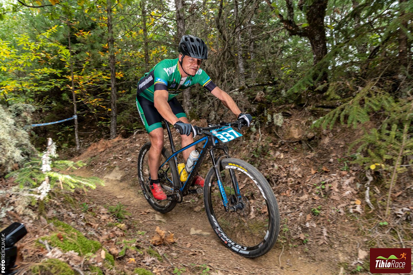
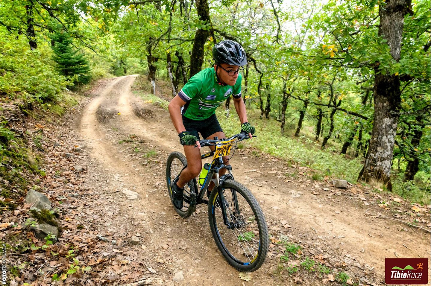
The Tihiorace Marathon Mountain Bike race with all specifications and aiming to satisfy all participants! 74km of stunning beauty with lots of change in terrain and scenery, not much elevation gain so everyone can participate.

Shorter distances available.

Read More

Course details

Course profile
hilly
Course surface
Trail
Other tags
Forest
Nature
Scenic
Wild Life
Single Loop
Course highlights
ROUTE DESCRIPTION 74km – 2,400m elevation gain
Route Difficulty: MODERATE in terms of technical difficulty and MODERATE for its uphill sections (referring to the average mountain biker).
A few meters after the asphalt start we enter a forest uphill of about 4km with a 6% average gradient. Then we continue on a narrower forest that has almost 1km of straight and slightly downhill section and then we start a narrower forest uphill, with an average gradient of 10% (up to 15% maximum), which you continue on a path for a total of 1.2km. There we are at 1,100m with a view up to the bridge of Antirion. Moving on the ridge, we continue the path with a downhill slope and short steep uphill sections of a few meters. Then we move on forest roads with alternating downhill and slightly uphill sections. At 12km, the second ascent begins for 7.2km through an amazing fir forest, up to the summit at Trikorfos at 1520m with a 6.2% average gradient. There we start a descent on a path, quite technical, in 2 different sections totaling 4km!!!
We continue along the forest dirt road in the fir forest until the asphalt road and head towards Stylia and after the village we go down the forest road to Avoro. We pass through the village and move towards the asphalt road that descends from Perithiotisa. We stay for 1km on the asphalt and enter the dirt road to Paleoxari where the third climb of 4.5km follows with an average gradient of 7% that ends in the village. We continue with forest and path with alternating uphill and downhill sections until the finish.
ROUTE DESCRIPTION 34km – 1,220m elevation gain

Moving on the ridge, we continue the path with a downhill slope and short steep uphill sections of a few meters. Then we move on forest roads with alternating downhill and slightly uphill sections. At 12km, the second ascent begins for 7.2km through an amazing fir forest, up to the summit at Trikorfos at 1520m with a 6.2% average gradient. There we start a descent on a path, quite technical, in 4 different sections totaling 4km!!!
We reach the asphalt shortly after Potidanea, where after 1.5 km of asphalt we enter an uphill forest road that leads us to the entrance of the path that ends in Potidanea.
It follows 3 km of asphalt that ends in Paleoxari. We continue with a path through the village and then we enter a forest and a path with alternating uphill and downhill sections until the finish.
ROUTE DESCRIPTION 16km - 520m positive elevation
Route Difficulty: MODERATE in terms of technical difficulty and DEMANDING for its uphill sections (referring to the hobbyist mountain biker).
A few meters after the asphalt start we enter a forest uphill of about 4km with a 6% average gradient. Then we continue on a narrower forest that has almost 1km of straight and slightly downhill section and then we start a narrower forest uphill, with an average gradient of 10% (up to 15% maximum), which you continue on a path for a total of 1.2km.
There we are at 1,100m with a view up to the bridge of Antirion. Moving on the ridge, we continue the path with a downhill slope and short steep uphill sections of a few meters. The remaining kilometers to the finish are mostly downhill, on narrow or wide forest roads with small technical sections (water troughs, rolling stones, etc.). At 13 km the new path has been added where it ends in the forest that leads to the finish.
General characteristics of routes: Forest roads, mostly narrow with very good terrain and paths, uphill and downhill, with good terrain, points with tight turns and technical sections.
Read More

Start address: Tichio, Greece

Finish address: Tichio, Greece

Route map

Tihiorace Mountain Bike 路线图

What’s included

These are included in your entry
  • done Finisher medal

  • done Timing chip (single use)

  • done Drink Stations

  • done Nutrition Stations

  • done Medical Assistance

  • done Toilets

  • done Shower

  • done Dressing rooms

  • done Bike wash area

  • done Service point

  • done Souvenir cycling sleeves

See 0 more

评论

Terrible star_border
Poor star_border
Ok star_border
Very good star_border
Excellent star_border

Be the first to write a review for this event

常见问题

How do I get to the race location?

keyboard_arrow_down

It is located in the SW of Fokidos Prefecture. It belongs to the Municipality of Efpalio. It is 25 km from Nafpaktos, 79 km from Amfissa and 250 km from Athens. Altitude 580m.

What is the cancelation/refund policy for this event?

keyboard_arrow_down

An athlete who registers and does not attend the event is not entitled to a refund.

Are e-bikes allowed?

keyboard_arrow_down

> only mountain bike e-bikes with a minimum front suspension travel of 100mm are allowed to participate > in the entry form you must state the engine power (regardless of torque) and the mileage limit of the assistance > only pedelec bikes (electrically assisted) are allowed  to participate > on both routes (full race & marathon) there will be a support point where you can have a spare battery > the race committee reserves the right to change the technical specifications

Tihiorace Mountain Bike

local_activity 优惠和折扣

verified_user Refundable Booking option

credit_card Secure payments

赛事信息可以在在赛事的官方网站或通过公开渠道找到。 总是以官方网站上的最新赛事信息作为参考。 如果有任何数据错误或遗失,请通过电子邮件告知我们.