Most Beautiful Thing Ultra Trail Marathon
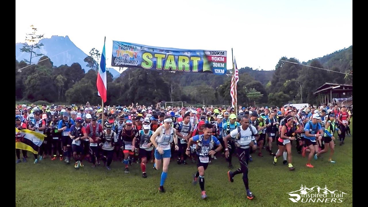

Join Most Beautiful Thing Ultra Trail Marathon
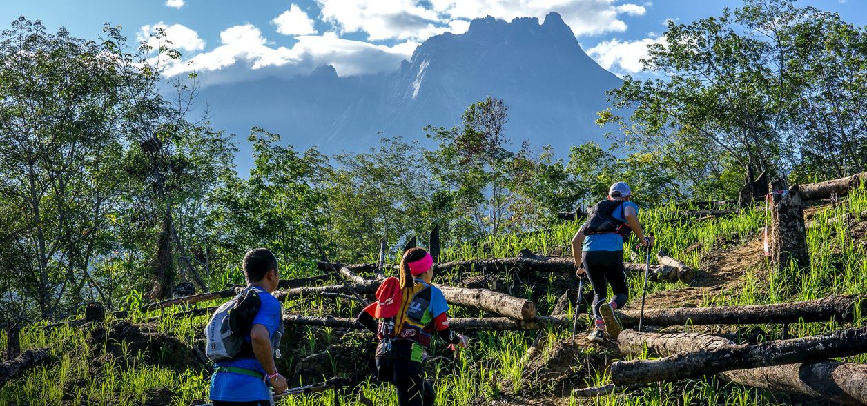
The TMBT is Malaysia’s oldest Ultra-Trail® Marathon with the inaugural race held in 2011. The acronym stands for "The Most Beautiful Thing", and makes reference to the iconic Mount Kinabalu, which at 4,100 m is one of Southeast Asia’s highest peaks and a world heritage site. The TMBT course is set over the ridges and in the river valleys around the base of Mt. Kinabalu, with the highest elevation on the race course just under 2000m.
The event takes runners from the quaint native villages at the foothills on the western side of Mount Kinabalu towards the southern side of the mountain with the 30k and 50k categories finishing at the viewpoint to Mt. Kinabalu at the township of Pekan Nabalu. The 100k category continues around the base of Mount Kinabalu and to the South-Eastern ridges of the mountain to finish in the village of Kundasang.
The routes are challenging but beautiful and give runners an opportunity to experience remote villages and follow village trails through a varied landscape of forest and cultivated areas. Trails pass paddy fields and climb steep ridges clad in pineapples with amazing views to Mt. Kinabalu and over the surrounding ridges and valleys which are often shrouded in clouds. The routes cross numerous streams with refreshing water on a hot day, while most larger rivers are crossed via hanging, bamboo or log bridges. Part of the trails follow the old heritage trails that used to be a part of the old buffalo trading routes linking villagers from Kota Belud to Bundu Tuhan.
The race has a reputation for being challenging to complete with a combination of steep terrain and technical trail sections, and the weather, usually hot in the first part of the day and with a good chance of tropical showers in the afternoon, often add to the challenge.
Reviews
Be the first to write a review for this event
The race information has been found on the official website of the event or through publicly available sources. Always refer to the official website the latest race information. Please let us know if any data is wrong or missing, by emailing us.


